Category: Bronx History

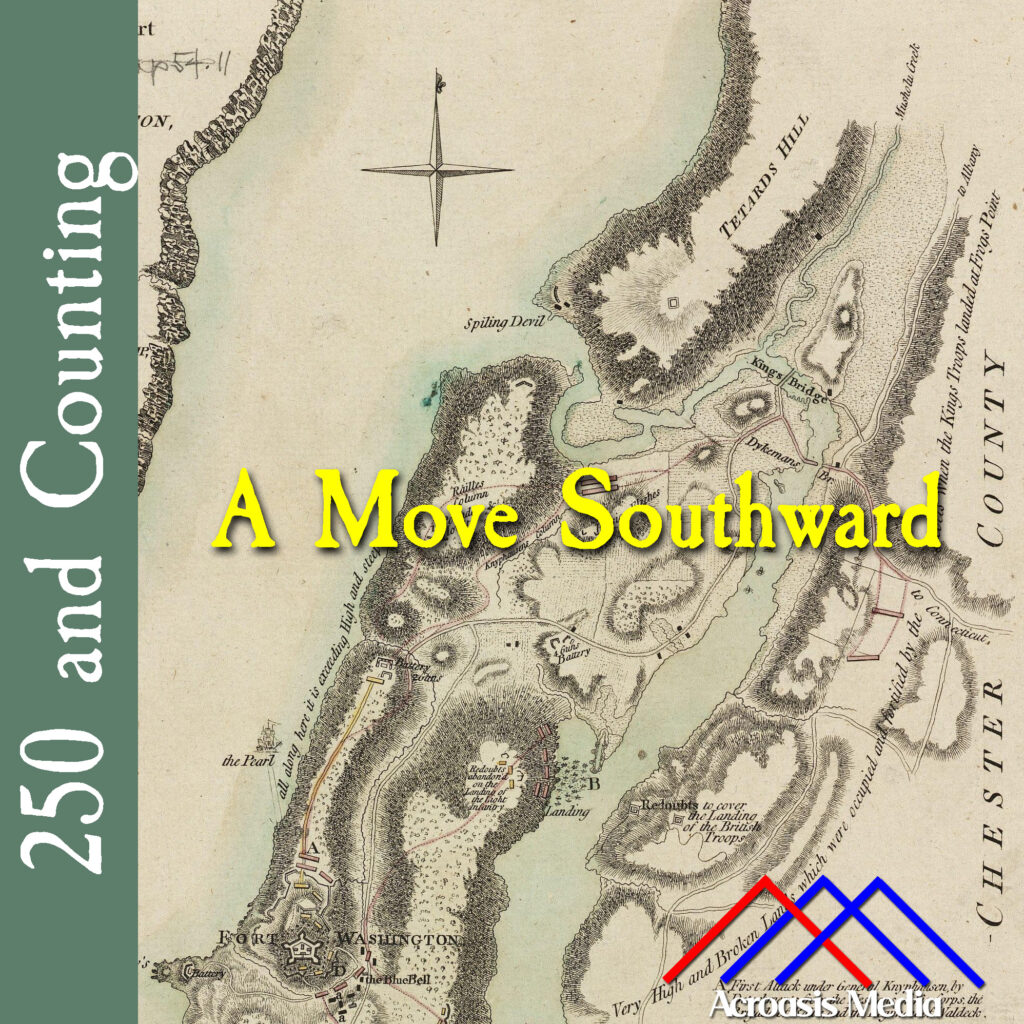
  • A Move Southward–November 7, 1776

    Cover art for November 7, 1776: Contemporary map of northern Manhattan. Fort Washington is at bottom left; Kingsbridge is just above the "w" in "Southward". via Boston Public Library Digital Collection.

    It was pretty well-known by this point that General Howe’s objective was to occupy New York and then move northward through the Hudson Valley.

    General Washington had issued a discretionary order to General Nathanael Greene to abandon the fort and remove its garrison, which then numbered about 3,000 men, to New Jersey.

    Colonel Robert Magaw, the acting commander of the fort, refused to abandon it, believing his troops would be able to defend it from the British. This stubbornness pretty much cost him his ability to participate in the rest of the war, as he was captured when the British finally moved in.

    Magaw was paroled later on but not permitted to leave Manhattan until the war was over. And Britain held Manhattan the entire time, so Magaw was basically out of a job when it came to the Continental Army, and may explain why there are no locations named after him. The site where his home in New Carlisle, PA is now a coffee shop/café and there is a plaque nearby marking the café as a stop on the Patriot’s Path.

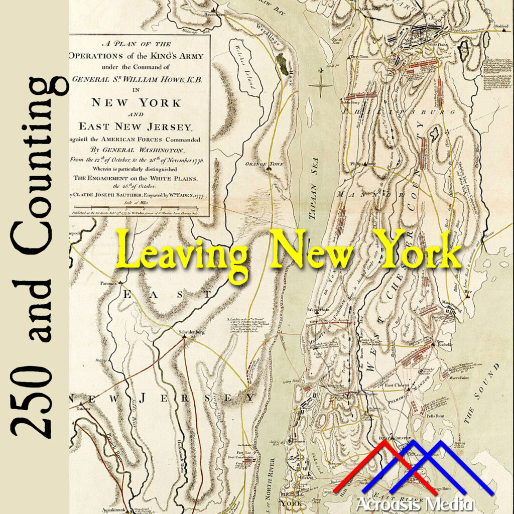
  • Leaving New York–October 17, 1776

    Cover art for October 17, 1776: A 1777 map depicting British troop movements before and during the Battle of White Plains, which will be in about ten days. via National Maritime Museum, Greenwich, London

    When Washington’s Council of War (with a single exception) determined that sticking around New York City was a bad idea, the next step was deciding which way to go, and how to go about it.

    To a certain extent, the decision was made for them, because the British had pretty well sewed up the Hudson River, which meant that getting across and into New Jersey stealthily would be problematic.

    The other option was to move north, into the Bronx and the downstate area west and north of Pelham. There would still be a river to cross (the Bronx River), but that was much smaller and, better still, it wasn’t fortified by British ships.

    They identified several crossing points and set up units to monitor those places, plus another couple of units to keep an eye on the British in general. In this manner they were able to move four regiments of men across to the mainland without alerting the British.

    But having this option made for them also helped ensure that they could continue to defend the lower Hudson Valley and stave off that severing of the connection between New England and the rest of the colonies that Britain so coveted.

    Over the next several days we’ll bring you up to the conflict that today is known as the Battle of White Plains.

  • 250 and Counting: January 25, 1775

    Cover art for January 25, 1775: the Kings Bridge, which was orignally built in 1693 and crossed Spuyten Duyvil Creek between modern-day Bronx and Manhattan

    In this episode you’re going to learn a bunch of things about the general geography of the Bronx, and how some places got their names.

    It’s actually interesting enough that may have to take some cameras up there and show you just how much the area has changed, and not just in a “what was wilderness then is city blocks now” way. It’s more like a “we needed to make this waterway safer for navigation, so we changed its path” kind of way.