Category: Spanish Exploration

  • A New Mission Is Re-established–November 1, 1776

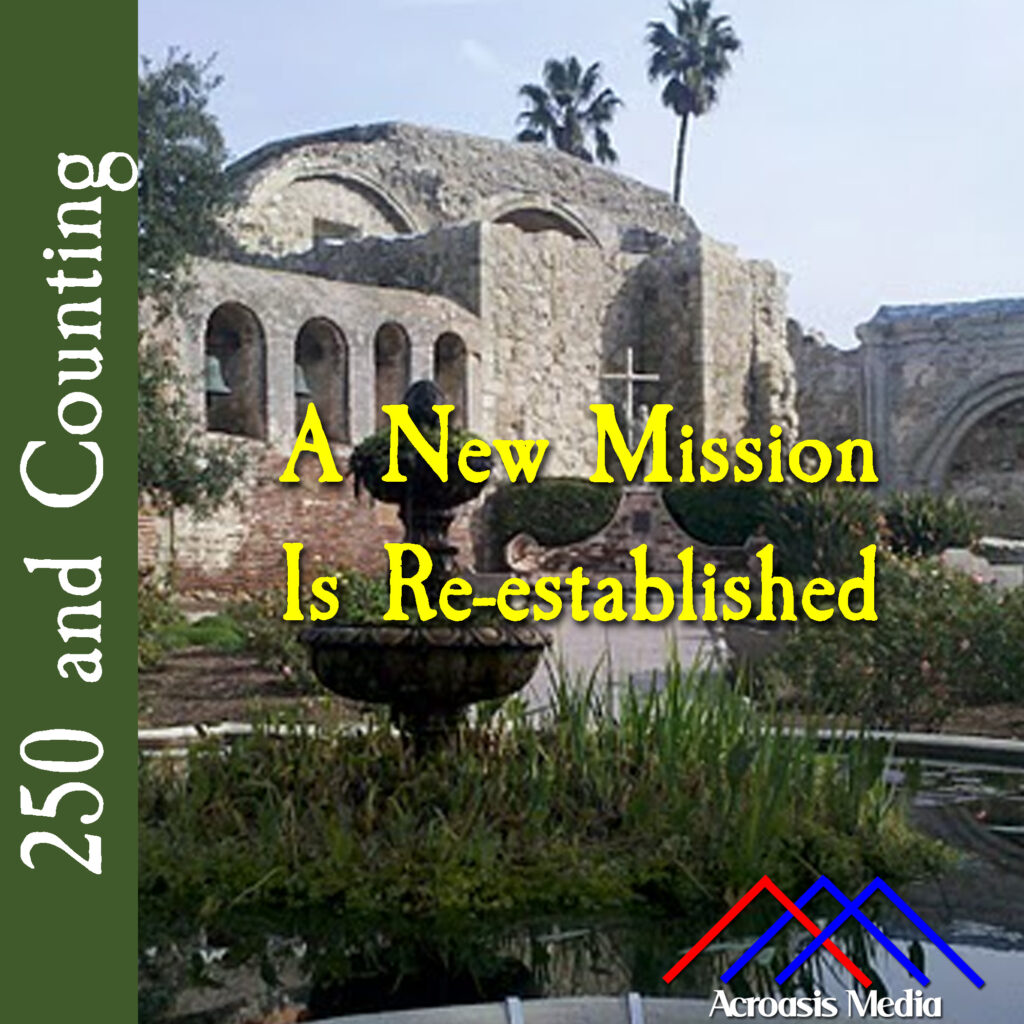
    Cover art for November 1, 1776: photo of Mission San Juan Capistrano in California. via Wikipedia, uploaded by user Diana Nuttman.

    Every day you learn something new if you pay attention, and today I learned that there is more than one Mission San Juan Capistrano.

    I went looking for a photo of the mission on Wikipedia, since most images there are in the public domain, and I found one in an article about the mission but the map was all wrong. This mission was in Texas; mine is supposed to be in California!

    It took me a second to notice the line at the top of the article: “For the mission of the same name in California, click here.”

    I bet the swallows never had that kind of navigational difficulty when they went looking for the Mission San Juan Capistrano.

    So what’s the story with the Swallows of Capistrano? It turns out that as part of their migratory pattern, a species of bird called cliff swallows arrive at the mission on or around St. Joseph’s Day, which is March 19. They’ve been using the mission to build or re-establish their nests almost as long as the mission has been there. Originally they were using whatever perch they could find, because the mission is near two rivers and there’s plenty of muddy marshland, which is good for the nests (they’re made of mud) and for the baby birds (lots of insects in the marsh). But once the mission went up, they started using the overhangs and the arches there.

    Development in the area has meant that the marshland isn’t quite as marshy as it used to be, so the swallow population has gone down some. The story goes that the sky could practically turn black with birds as they arrived on St. Joseph’s Day, and again on October 23, the Day of San Juan, when they leave Capistrano and head back to Argentina to spend the winter.

    The things you learn.

  • The Dominguez-Escalante Expedition–September 23, 1776

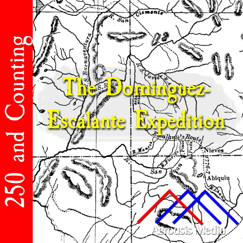
    Cover art for September 23, 1776: map of the expedition's route across the Colorado Plateau. from Bancroft's History of Utah, 1540-1886 (1889). via Wikimedia Commons.

    The Dominguez-Escalante Expedtion was an effort to find an over-land route from Santa Fe, New Mexico, to Monterey, California. Their journey took them north across the Colorado Plateau to Utah Lake Valley, which was a peculiar route at first, until you realize that they started with a route taken by Juan Rivera in 1765.

    Atanasi Domínguez and Silvestre Vélez de Escalante were born in Mexico City and Spain, respectively. They left Santa Fe along with about a dozen others (one of whom had been on the Juan Rivera trip) beginning on July 30.

    Throughout their trip they were beset by spells of bad weather punctuated by areas of arid land, which meant little pasture for the horses to feed, and insufficient water. And while the Grand Canyon, which I mentioned during the episode, was certainly an obstacle, it wasn’t the only canyon they had to deal with that had difficult terrain for them to navigate. They crossed into the Utah territory on September 11 and reached Utah Lake on this date. Their stop at the Utah Lake Valley was a happy one, as the local natives treated them very well and gave them provisions, but shortly after leaving a few days later, the conditions became difficult again and they made the decision to return to Santa Fe on October 5.

    It was still almost three full months before they arrived back in Santa Fe, on January 2, 1777. They hadn’t accomplished their original mission, but they’d mapped a lot of territory and laid the foundation for a future trail.

  • August 5, 1775: Open Up That Golden Gate

    Cover art for August 5, 1775: photo of a drawing by Walter Francis depicting the ship San Carlos entering the bay of San Francisco on August 5, 1775. via Wikimedia. Out of frame this Photoprint reads: "Drawn for 'The Beginnings of San Francisco'".

    Meanwhile, three thousand miles away from the action…

    …the Spanish were exploring the West Coast and claiming a lot of territory in their name. It was largely exploration and planting flags, although there were some colonies established as well.

    But what’s interesting about the bit of exploration we’ll be looking at today is that, even though the Spanish had been up and down the coast for a couple of hundred years, it wasn’t until 1769 that they realized that the strait leading into San Francisco Bay was even there. Possibly because it was frequently fogged in, possibly because the area was considered hazardous to navigate.

  • June 9, 1775: Exploring the West Coast

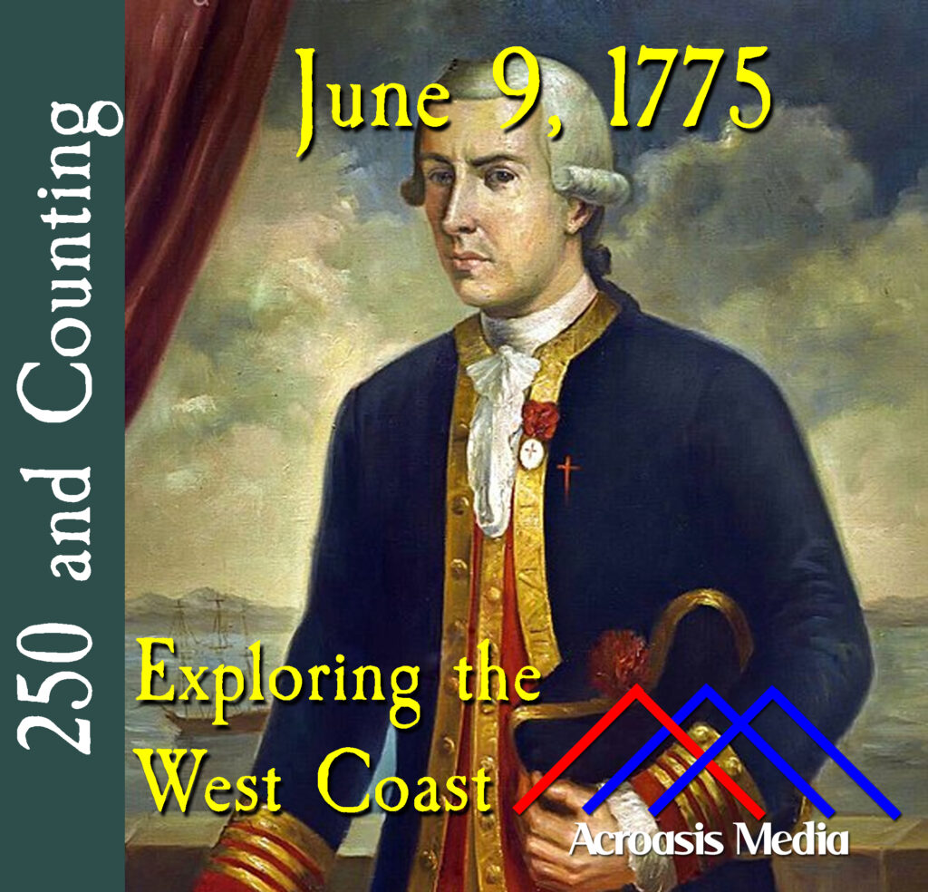
    Cover art for June 9, 1775: Juan Francisco de la Bodega y Quadra, artist unknown, circa 1785.

    We’ve spent all our time on the East Coast; let’s take a side quest to the West Coast to see what the Spanish are up to.

    We have two main players here: Bruno de Heceta, after whom at least two locations on the West Coast are named (and they’re pronounced differently, go figure), and Juan Francisco de la Bodega y Quadra.

    They sailed together, each in charge of a ship, and made it almost to Canada before Heceta headed back to Mexico and Bodega y Quadra continued on up to Alaska. Their goal was to find Russians, and in that respect they failed, but they did manage to claim a lot of territory for Spain.