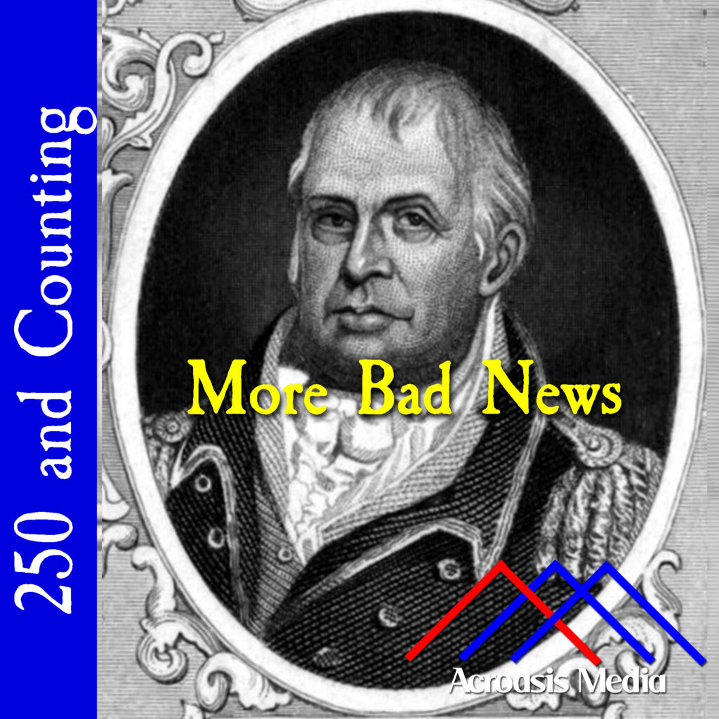
He was already a Brigadier General in Massachusetts before Lexington & Concord, and as the siege in Boston started, he worked at training the troops. When the Continental Army officially formed, he retained his title and was promoted to Major General in August 1776.
Unfortunately (as Mike notes), George Washington didn’t think much of him and kept him largely sidelined. And the one time Washington did ask him to do something important, it didn’t go well at all.
…but the situation was not excellent, for the American side, anyway.
George Washington got a wake-up call in the form of a letter from Congress. In that letter he was told that it was not a good idea to burn down New York City; what’s more, they weren’t quite so invested in his holding the City as he thought they were. This was a good news/bad news situation for him, since he knew that strategically, the British occupying New York had the potential to be a huge problem, especially if they were able to take the entire Hudson Valley.
But even if they didn’t, having one of our biggest and busiest ports was going to create a lot of headaches, regardless of what was supposed to be moving in or out of the city.
Meanwhile, we have Ezra Lee making his first attempt at genuinely deploying the Turtle submersible. The currents plus the darkness made maneuvering very difficult, and while he did get close enough to Admiral Howe’s ship to stick the explosive charge to it, the spear he used couldn’t penetrate the hull enough to stick. In recent years it’s thought that he tried to pierce the hull near the rudder, which had an iron plate on it; another theory involved the recent use of copper on ships’ bottoms, but this copper was quite thin and would have been easily pierced.
Lee made one more attempt with the Turtle, on October 6, but that try also failed. The Turtle was lost less than a week later when the sloop serving as her tender was sunk by British ships. Who knows? Maybe there are still pieces of her in the Hudson River.
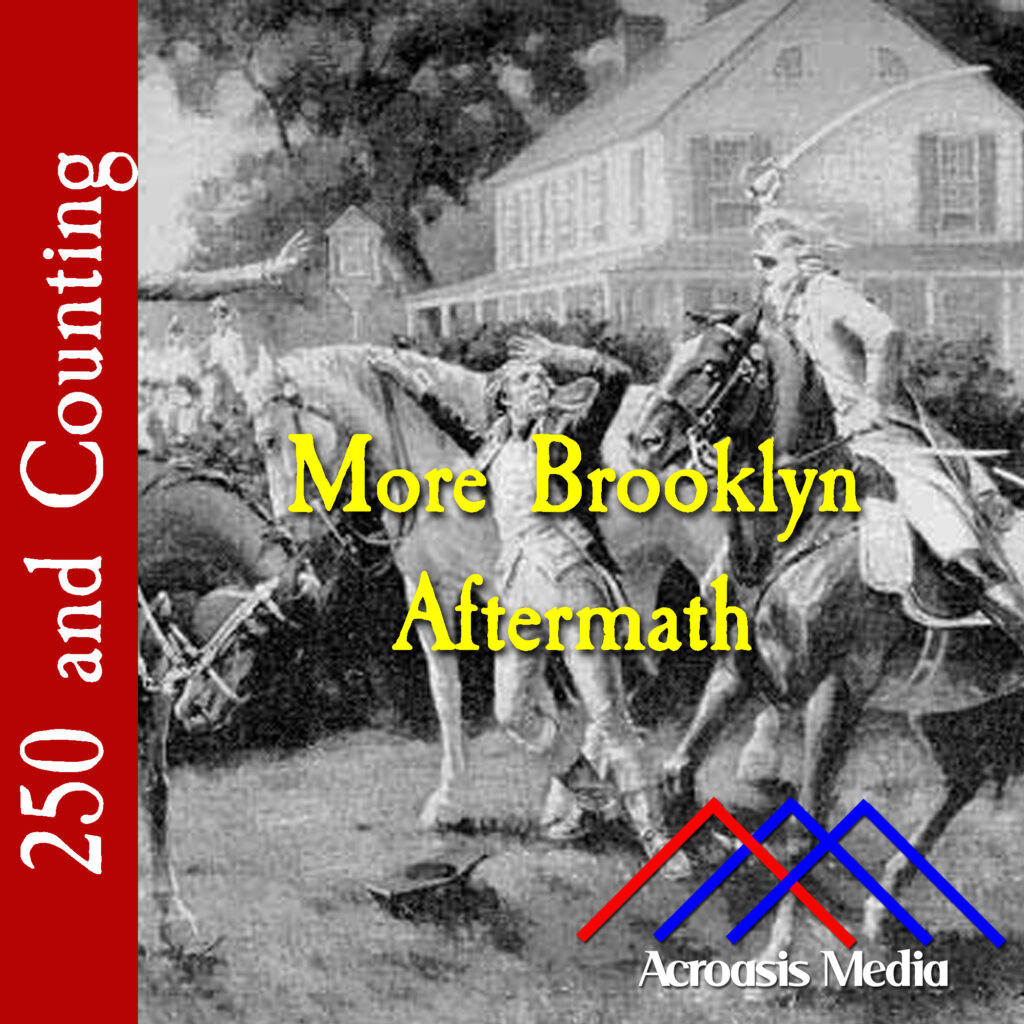
The American Army has evacuated Brooklyn. Reports are coming in from all over that the Loyalists are being rather sore winners over the event. Refugees are coming into Connecticut from across the Long Island Sound. George Washington, literally the last man out of Brooklyn, is trying to figure out his next move, and that of the British.
Nathanael Greene, who missed the Battle of Long Island because he’d been seriously ill, finally returns to duty. At last, some good news for General Washington! And maybe some sage advice regarding what should be done next to preserve New York City!
And Greene tells him to get out of town. There’s no way that you can hold a place like New York City if you can’t control the shoreline across the East River, no more than a few hundred feet away.
Washington doesn’t think this is a good idea, partially because he thinks New York is more important to the Continental Congress than it actually is. But Greene has another idea, which we’ll get into in a couple of days.
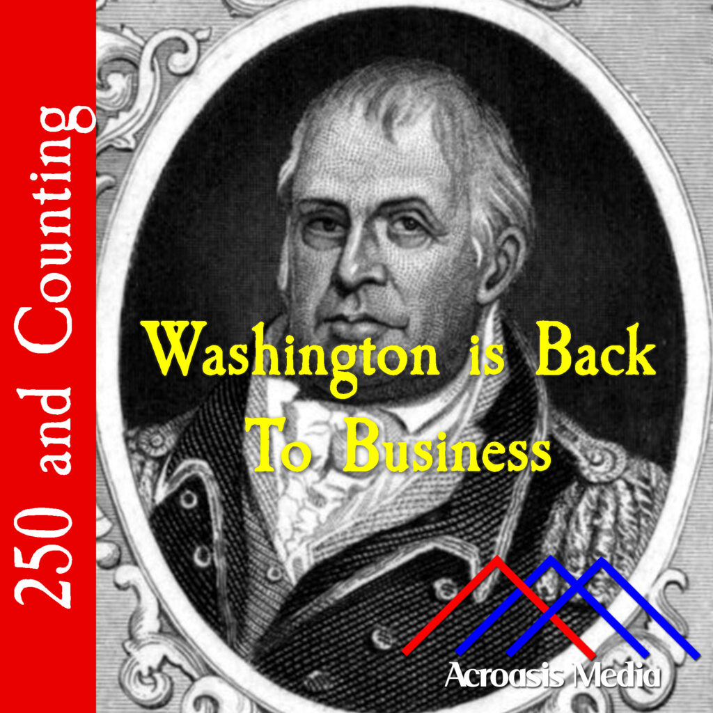
Washington wrote two letters today: one to General William Heath, and the other to Congress.
To Heath, he basically gave a little bit of an “attaboy” in agreeing with Heath’s assessment regarding the British Army’s next move. So he recommended that chevaux de frise be sunk in the waters nearby the next likely target (Huntspoint), to thwart the British ships moving in. Other than that, some reinforcements are on their way, so until the British arrive, just hurry up and wait.
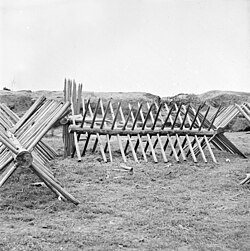
Now, a cheval de frise (“chevaux” is plural) was tough for me to explain during the show, but picture a sawhorse with long spikes protruding from it. That’s a basic cheval de frise. (The one in the picture is from the Civil War.) But they’re not limited to this specific design; some stone walls had broken glass, or sharp rocks embedded in their tops to make it tougher to climb over them; those are also considered to be a cheval de frise. The ones that Heath were expected to sink in the East River looked more like boxes with angled spears pointed in the direction the ships were likely to be coming from.
Washington’s other letter, to the Continental Congress, wasn’t so much to inform them of his loss on Long Island as it was to assure them that he was alive and well, and that most of his troops had gotten away despite the magnitude of the loss. It would be several months before Washington could truly notch one in the “Win” column against the British.
Even though George Washington was in charge of the whole Continental Army, he still had people to answer to. Most directly that would be the Continental Congress and that will happen very soon, but in the meantime there were also some local officials he had to placate.
Which brings us to today’s episode, in which Washington wrote to the New York Convention, which was the name at that time for the body of state’s representatives. He’d kept them up to date on everything that was going on so far, so it only made sense that he’d send them another note to let them know why the troops had bailed on Brooklyn. There were lots of good reasons, but the one he didn’t write about was the fact that his army was getting shellacked and it was either get killed outright, or run away to fight another day.
The Maryland 400 (who got that name because “The Maryland 270 ” was too awkward?) was directly responsible for keeping the American losses relatively low, considering how badly the battle went for them.
In the final accounting, about 300 soldiers were dead, another 650-800 were wounded and 1100 were captured. British and German casualties numbered 64 dead and 314 missing, wounded or captured.
Not an auspicious showing for the Continental Army in their first battle since the Declaration of Independence was made public. However, the fact that the bulk of the American army did manage to make it across the East River back into Manhattan was, in itself, a morale-booster, especially when it became common knowledge that George Washington was the last Continental to leave Brooklyn. And in retrospect, the escape from Brooklyn is considered to be one of Washington’s greatest military accomplishments. Having said that, there is an argument that he was only successful because the British navy failed to patrol the East River, and they’d be right. But most battle successes are going to come with a dollop of luck.
However, the losses weren’t over for Washington, and eventually he had to withdraw his forces to New Jersey. Meanwhile, the British held onto New York for the rest of the war.
What the British didn’t manage to do, however, was cut off New England the way they’d hoped. But that comes later.
As we told you yesterday, Washington got the word rather late that the battle wasn’t going down the way he thought it would, largely because the Jamaica Pass, which was rarely used, was the path that most of the British Army took against the Continental Army. At the same time, they left a contingent of troops in place as a distraction while they worked their way around.
That meant that when he got across the East River, all he could really do was watch from a distance while his troops took a beating. General John Sullivan’s men fought bravely but were cut down by Hessian artillery and bayonets. And when he realized that the main British force had come through the Jamaica Pass and would soon surround him, Sullivan ordered his men to retreat to Brooklyn Heights before he himself was captured.
Fortunately for Sullivan, he was released on parole to deliver a message to the Congress in Philadelphia, proposing an informal meeting to discuss ending the armed conflict.
After Sullivan’s speech to Congress, John Adams cynically commented on this diplomatic attempt, calling Sullivan a “decoy-duck” and accusing the British of sending Sullivan “to seduce us into a renunciation of our independence”; others noted that it appeared to be an attempt to blame Congress for prolonging the war. Congress did agree to a peace conference with the British, but that ultimately went nowhere.
General William Stirling held off the British for several hours but retreated when he also realized that he would be surrounded. He led 400 Maryland soldiers in a desperate fight at the Old Stone House, giving his soldiers time to flee before he, too, was taken prisoner. But we’ll get into this in a little more depth tomorrow.
The Battle of Long Island was one of our largest engagements with the British, and it was also the first one after the Declaration of Independence.
And it was a rout; the Americans got their heads handed to them. The British took New York and they occupied it for the rest of the war. After so many smaller victories, we finally got the lessons that A) this was going to be a long and bloody war, and B) there really isn’t any such thing as an easy victory.
As a result, New York City became a focal point for espionage and intelligence-gathering. If you’ve ever seen the AMC series Turn: Washington’s Spies, you’ll get an idea of some of the things that went on. (The series as a whole isn’t bad, but there are definitely instances of dramatic license that went on. For instance, you can’t row across the Long Island Sound and back overnight. In fact, I’m not sure you can row across the Sound safely at all.)
In tomorrow’s episode, Mike will tell you why it didn’t turn out worse for the American side and then we close out the week with the last chapter of the Battle of Long Island.
At this point, both George Washington and General William Howe know that they’re literally on the eve of battle, and they’re making their final preparations.
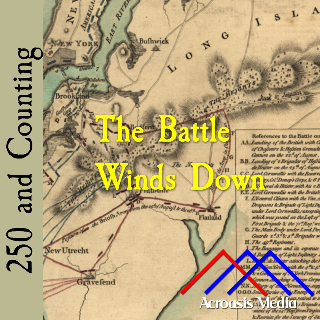
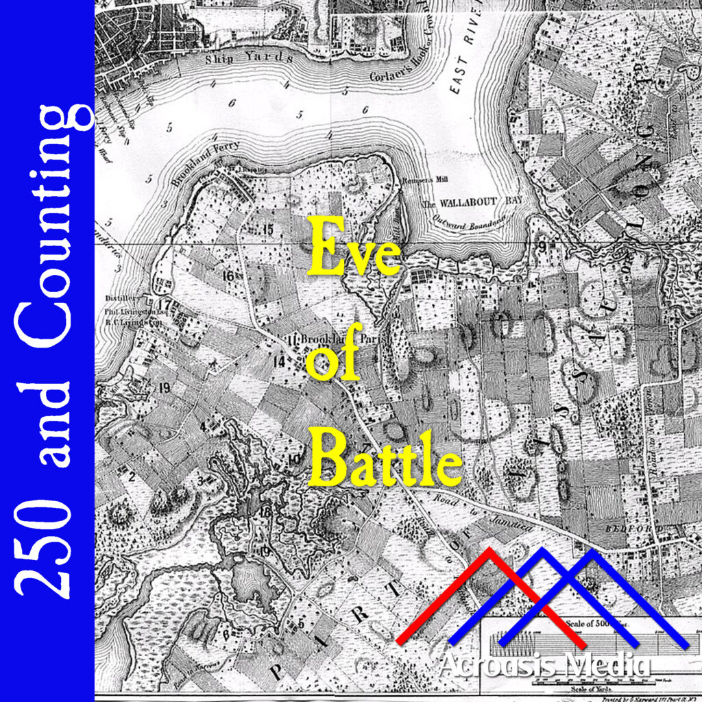
The British, along with the Hessians, were making plans to move along the Jamaica Pass (it’s the road just above the Acroasis logo in today’s art), which, while they didn’t know it, was relatively lightly guarded by the Continental Army.
Washington’s tactic was to hold on to the Heights of Guan (the ovals to the right of the episode title, representing hills) and fortify Brooklyn Heights (far left center, about where the Brooklyn Bridge is today). It wasn’t a bad idea, but it didn’t match the British plans. And that’s largely where things went wrong. We’ll be talking about that in greater detail tomorrow.
Like the Continental Army didn’t have enough problems with being outnumbered nearly two-to-one, now they’re looking at another five thousand Hessians landing in Brooklyn.
The name “Hessians” is what they call a synecdoche; that’s when a part of something is used to refer to the whole. For instance, when we say “boots on the ground,” the “boots” portion of that phrase is synecdoche for “soldiers.” Or, if you refer to business leaders as “suits.” So, Hessians got that name because most of the troops came from one of two German states: Hesse-Kassel and Hesse-Hanau.
While Hessians were effective soldiers, especially in the Northern theaters of the Revolutionary War, their presence also had the effect of outraging colonists and improving overall support for the war effort. In fact, the Hessians are referenced (though not by name) in the Declaration of Independence:
“He is at this time transporting large Armies of foreign Mercenaries to compleat the works of death, desolation, and tyranny, already begun with circumstances of Cruelty & Perfidy scarcely paralleled in the most barbarous ages, and totally unworthy the Head of a civilized nation.”
In the colonists’ heads, the Hessians’ mere presence was a violation of their rights.
Over the next couple of days, we’ll follow the activitiy on Long Island as the battle itself begins.