Category: Western Expansion

  • The Dominguez-Escalante Expedition–September 23, 1776

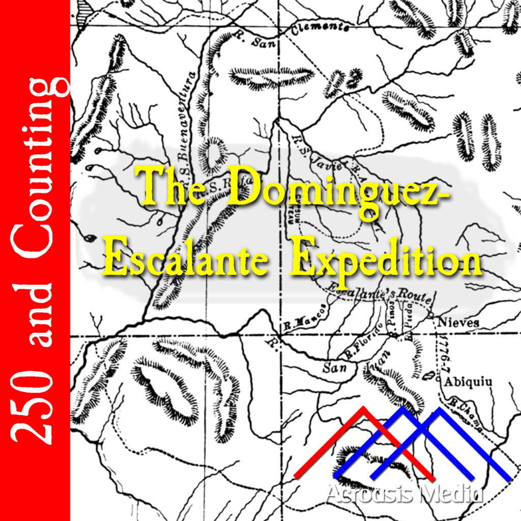
    Cover art for September 23, 1776: map of the expedition's route across the Colorado Plateau. from Bancroft's History of Utah, 1540-1886 (1889). via Wikimedia Commons.

    The Dominguez-Escalante Expedtion was an effort to find an over-land route from Santa Fe, New Mexico, to Monterey, California. Their journey took them north across the Colorado Plateau to Utah Lake Valley, which was a peculiar route at first, until you realize that they started with a route taken by Juan Rivera in 1765.

    Atanasi Domínguez and Silvestre Vélez de Escalante were born in Mexico City and Spain, respectively. They left Santa Fe along with about a dozen others (one of whom had been on the Juan Rivera trip) beginning on July 30.

    Throughout their trip they were beset by spells of bad weather punctuated by areas of arid land, which meant little pasture for the horses to feed, and insufficient water. And while the Grand Canyon, which I mentioned during the episode, was certainly an obstacle, it wasn’t the only canyon they had to deal with that had difficult terrain for them to navigate. They crossed into the Utah territory on September 11 and reached Utah Lake on this date. Their stop at the Utah Lake Valley was a happy one, as the local natives treated them very well and gave them provisions, but shortly after leaving a few days later, the conditions became difficult again and they made the decision to return to Santa Fe on October 5.

    It was still almost three full months before they arrived back in Santa Fe, on January 2, 1777. They hadn’t accomplished their original mission, but they’d mapped a lot of territory and laid the foundation for a future trail.

  • March 19, 1775: The Watauga Purchase

    Cover art for March 19, 1775: Historical marker in Elizabethtown, Tennessee, commemorating the Watauga Purchase.

    The Watauga Purchase was one of several land purchases in the area of the Watauga River made around the same time. But this one was first, and we know this because it’s literally on Page One of the deed book, which still exists in the Archives of two different states (one is a copy, of course).

    Interestingly, while this territory is sometimes considered by historians to be a self-governing area, the residents actually considered themselves to be British subjects, even after the war began, and to a certain extent even for a short period after the Declaration of Independence was signed. That likely ended when the Cherokees (who were aligned with the British) attacked several settlements, although they were badly beaten in the attempt.

  • March 10, 2025: Daniel Boone Paves the Way for Kentucky

    Cover art for March 10, 1775: portrait of Daniel Boone by Chester Harding, from 1820. It's the only known portrait of Boone made during his lifetime.

    Because of popular culture in the 1950s and 1960s, Daniel Boone is probably one of the more colorful figures in American history. He was born in Pennsylvania, but it was in the frontier territory. He had little formal education, but he could read and write, even if his spelling was unorthodox. (In fact, oftentimes when he went on hunting or exploring expeditions, he was the only literate man in the group.) He was court-martialed at one point, but found Not Guilty and received a promotion afterwards.

    He was a businessman, a politician, and an explorer, and it’s this last one that we’re going to look at today in 1775.