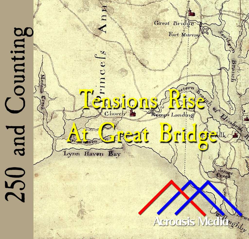
The map in today’s cover art might be a little confusing to people who live and work in the modern-day Norfolk area. That’s because it’s oriented with North at the bottom. What’s not known is why this was done in this particular case. North/Up South/Down is, of course, the usual convention, and there are arguments that there’s a psychological component to this (e.g. north/up is somehow “better” than south/down).
From a cartography standpoint, there isn’t much difference between a map oriented one way and a map oriented any other way. In fact, most cartographers consider the matter trivial in nature.
The bodies are gathering at Great Bridge; in a couple of days the battle begins.
Podcast: Play in new window | Download | Embed