Tag: Battle of Great Bridge

  • Confusing–And Howe–December 25, 1775

    Cover art for December 25, 1775: A portrait of Major General Howe, artist unknown. From the book A brief history of the North Carolina troops on the Continental establishment, by: Charles Lukens Davis & Henry Hobart Bellas, published 1896.
    Cover art for December 25, 1775: A portrait of Major General Howe, artist unknown. From the book A brief history of the North Carolina troops on the Continental establishment, by: Charles Lukens Davis & Henry Hobart Bellas, published 1896.

    The Battle of Great Bridge may be over, but its effects linger on.

    Lord Dunmore, the former Royal Governor of South Carolina, communicated to General Robert Howe that he’d like to effect a prisoner exchange.

    It’s not clear whether Howe was playing hard-to-get, or playing dumb, or something else. He and Dunmore exchanged several letters over the next couple of days, and apparently didn’t end in a prisoner exchange. It did, however, end in violence. We’ll be talking about that as we get into the new year.

  • Washington Has Some Intel–December 18, 1775

    Cover art for December 18, 1775: A hand-colored printed halftone of a 19th-century illustration of George Washington writing at his desk.
    A hand-colored printed halftone of a 19th-century illustration of George Washington writing at his desk.

    Military Intelligence is a peculiar thing, if only because you never know where it’s going to come from, and/or what it’s going to affect.

    And that’s where today’s episode comes in, because Congress received a letter written today which detailed some plans for British military activity in Virginia. What’s surprising is that the intelligence came from…George Washington, in Cambridge, Massachusetts.

    Washington was the lucky recipient of food that had been intercepted on its way to the British folks under siege in Boston. He also received several documents outlining plans that were afoot in Virginia, and he dutifully passed them along.

    Most of it was related to Great Bridge, which had already seen some action, but it still put Congress wise to the fact that the war wasn’t only taking place in the northeast, and that military intelligence can come from anywhere.

  • The Battle of Great Bridge–December 9, 1775

    Cover art for December 9, 1775: Sketch of the Battle of Great Bridge by Lord Rawdon. Title: A view of the Great Bridge near Norfolk in Virginia where the action happened between a detachment of the 14th Regt: & a body of the rebels. Key: A. A stockade fort thrown up by the regulars before the action. B. Entrenchments of the rebels. C. A narrow causeway by which the regulars were forced to advance to the attack. D. The church occupied by the rebels. Once again, the map has North toward the bottom.
    Note once again that the map is drawn with North on the bottom. Hover to get the guide to the markers.

    The Battle of Great Bridge is a little bit overlooked these days, and more’s the pity. It was the first battle in Virginia, it was a big victory for Patriot troops, the Royal Governor and his crowd got pushed out altogether, and nobody died on the Patriot side.

    On the British side, about 100 soldiers were dead. The last time the British lost a substantial number of troops, it was at Bunker Hill, which they won. (The vocabulary word you seek is “Pyrrhic Victory.”)

    Best of all, it fueled Virginia’s moves toward independence.

  • Tensions Rise At Great Bridge–December 7, 1775

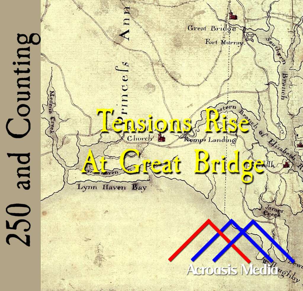
    Cover art for December 7, 1775: Detail from a map circa 1785 showing the Norfolk area. Oriented with North to the bottom, Fort Murray is visible near the top of the map. via Library of Congress Geography and Map Division.

    The map in today’s cover art might be a little confusing to people who live and work in the modern-day Norfolk area. That’s because it’s oriented with North at the bottom. What’s not known is why this was done in this particular case. North/Up South/Down is, of course, the usual convention, and there are arguments that there’s a psychological component to this (e.g. north/up is somehow “better” than south/down).

    From a cartography standpoint, there isn’t much difference between a map oriented one way and a map oriented any other way. In fact, most cartographers consider the matter trivial in nature.

    The bodies are gathering at Great Bridge; in a couple of days the battle begins.