Tag: Battle of Long Island

  • Washington Arrives In New York–April 13, 1776

    Cover art for April 13, 1776: a 1776 map of New York City and the immediate area (detail). Fort Stirling would be just above the "A" in "Acroasis"; Fort Defiance is off the edge of the map to the south. via Library of Congress.

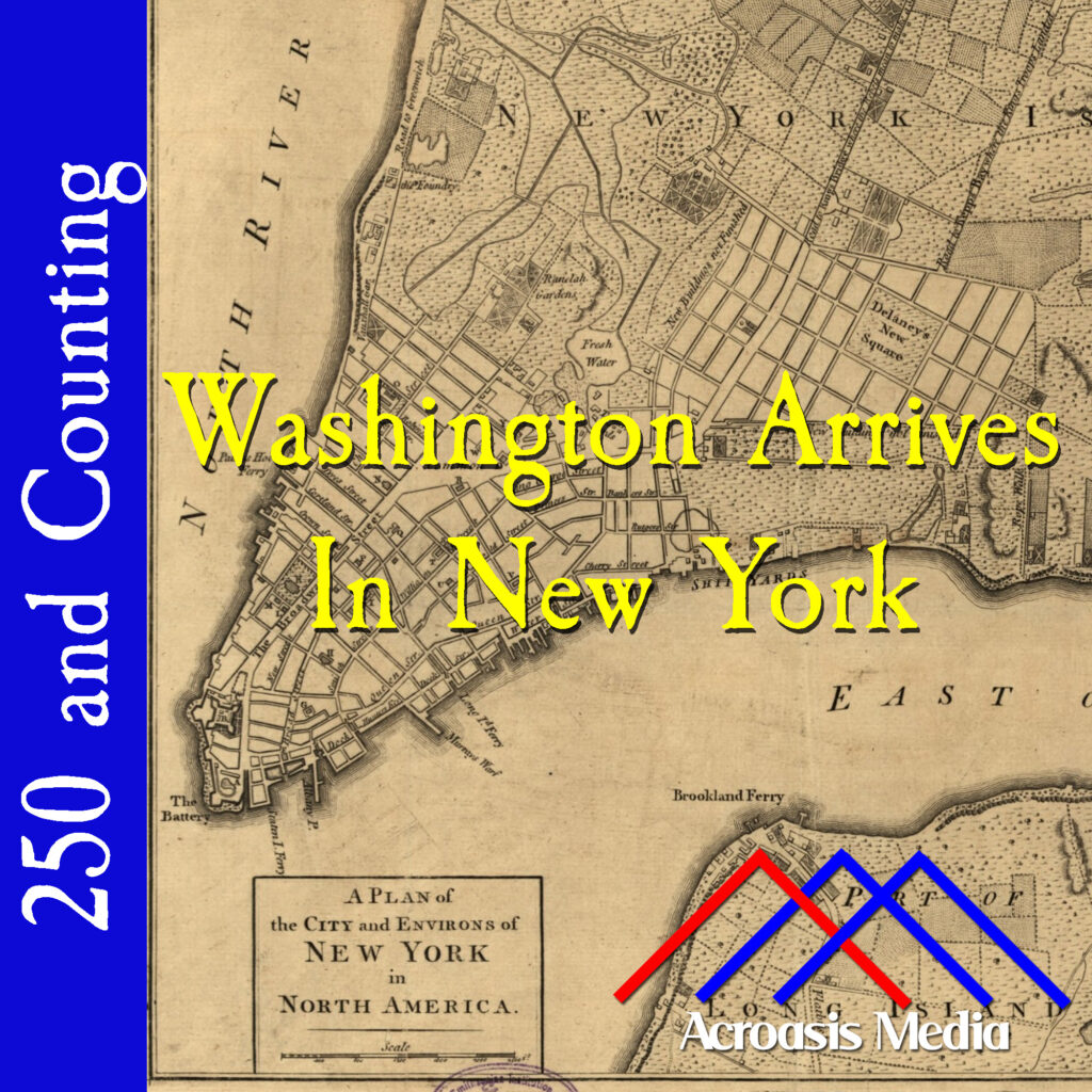
    When George Washington arrives in New York, things aren’t quite the way he’d like them to be, but he doesn’t really have time to worry about that.

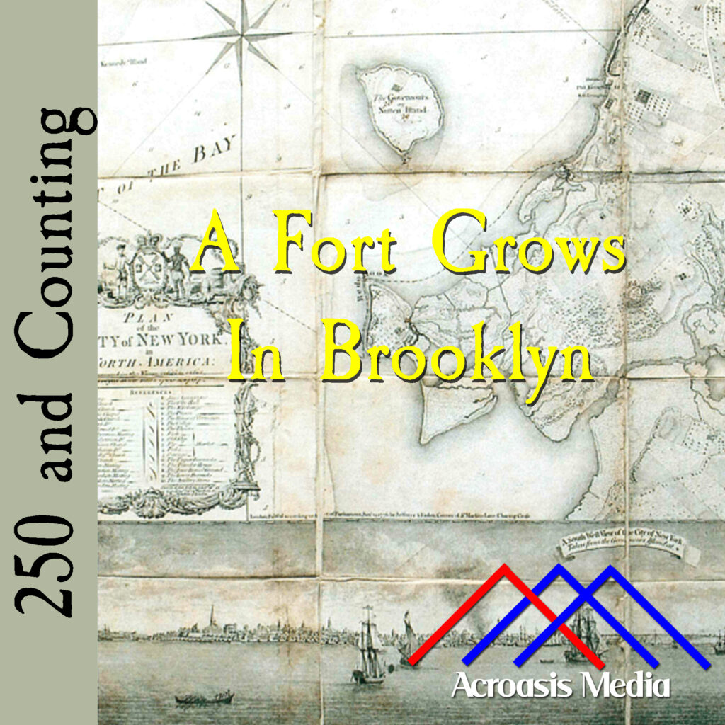
    Construction of Fort Defiance had already begun, and before long the building of Fort Stirling would commence. Even though they were outmanned and outgunned, Washington was going to make sure that if a British victory were to happen in New York, it was going to be a Pyrrhic victory.

    About Fort Stirling: like Fort Defiance, nothing remains of the original structure. When the British evacuated the city in 1783, the locals destroyed whatever remained of the fort. It was originally named Fort Half-Moon because of its shape but it was renamed in honor of William Alexander, who was also known as Lord Stirling.

    There remains a historical marker in the ground for this fort, at the intersection of Clark Street and Columbia Heights; when traveling west on Clark Street it will be on your right, protected by an iron fence (it’s right behind the fence and easy to see). When the park was created and dedicated in 1925, the Fort Greene Chapter of the Daughters of the American Revolution donated the granite tablet that marks the fort’s site.

  • A Fort Grows in Brooklyn–April 10, 1776

    Cover art for April 10, 1776: a contemporary map of Brooklyn. Red Hook is in the center of the picture, just below the "rt" in "Fort".

    The construction of Fort Defiance in the Red Hook section of Brooklyn made perfect sense. That part of the peninsula sticks out into New York Harbor and provides an excellent view of anything that might be sailing in or out.

    Red Hook comes from the Dutch Roode Hoek, “hoek” translating to “point”, which can still be seen in modern-day maps. The whole area, what we now call Red Hook and Gowanus, was settled by the Dutch in the 1630s.

    Red Hook was some swampy land when the Dutch moved in. But the Dutch know something about swampy land, and they got straight to work, filling in lakes and re-channeling waterways. They began farming the land, including orchards of fruit trees.

    After the war broke out and the Continental Army drove the British from Boston, George Washington sent Brigadier General William Alexander to Brooklyn to see what could be done defensively. A plan was developed to build two forts along the Brooklyn Heights, about a mile and a half apart. Fort Greene would be the furthest east, Fort Defiance would be the furthest west. Across the channel on Governor’s Island, another fort would be built, so that British ships could be fired on from both sides.

    Now, when we say “fort,” we’re not talking about something made of wood or stone. Plenty of those did exist, but not here. This was more like a breastworks built of earth and stone, which had a few cannons near the top. There were three of these breastworks connected by trenches, and they took up most of the island on which they stood. (Incidentally, Mike was correct about the island not existing anymore; the space was filled in and is now part of the larger land.) This took only a few days to put together; the fort at Governor’s Island was more like what one would expect to see.

    By the time the British arrived, the Continental Army was quite ready from a defensive standpoint. But the British were much larger in number and had a Navy besides. Stay tuned; it’s going to be an exciting summer.