Tag: Benedict Arnold

  • The Great Carrying Place–October 11, 1775

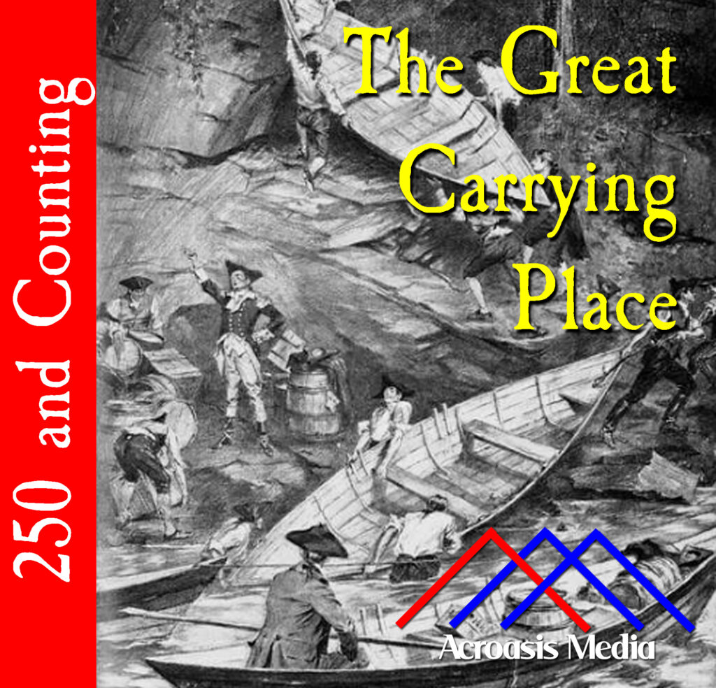
    Cover art for October 11, 1775: "Carrying the bateaux at Skowhegan Falls", drawn by Sydney Adamson; halftone plate engraved by CW Chadwick, 1903.

    Benedict Arnold and Company are still on the move toward Quebec. Over a three-week period they’ve moved fewer than 90 miles, with only…300 to go. Today they’ve reached The Great Carrying Place, a 13-mile walk alternating between woods and knee-deep mud, all while carrying everything they’ll need to get to Canada.

    Back in the Colonies proper, General Gage is being replaced by General Howe. Gage was largely responsible for the Siege of Boston, especially since they weren’t able to break that siege. And then Bunker Hill came along. Sure, the British won but at great cost—a Pyrrhic victory. Once word got back to Britain about that, Lord Dartmouth appointed Howe within a couple of days. Of course, it took several weeks for the news to get back to America, and on September 26 he learned he was being replaced. By this days’ end, Gage was on his way back to Britain.

  • October 2, 1775: Whoa…We’re Halfway There!?

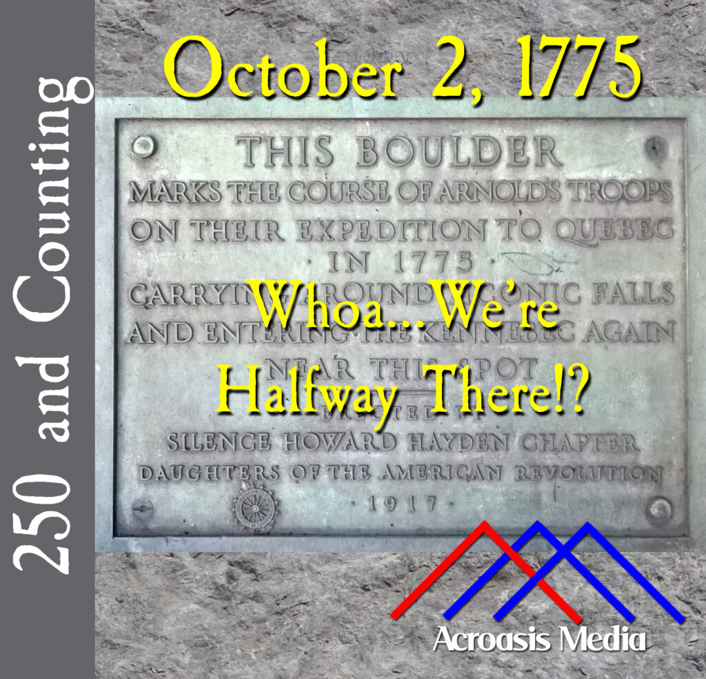
    Cover art for October 2, 1775: one of several markers commemorating stops for Benedict Arnold and his soldiers. This one is near Ticonic Falls, which is the modern name for Norridgewock Falls.

    It was not so very long ago that some of us sought directions from Mapquest. Then we printed them out in order to make a trip of some kind.

    It was only a little bit longer ago that we depended on physical maps to get places. In fact, if you’re a fan of the HBO show The Wire, you may recall a plot point that revolved around printed maps. A secret code led to a point on the map.

    Back in the 18th Century, maps were very important resources for the overland traveler. And if a map had a mistake on it, you could be hopelessly lost. It’s not as though you could pull into Ye Olde Gas Station and get directions.

    So the bad news for Benedict Arnold and Company is that the map he used to get to Quebec was terribly inaccurate. The good news is that it was largely incorrect from a distance standpoint. It could have genuinely been much worse.

  • September 19, 1775: Up the River

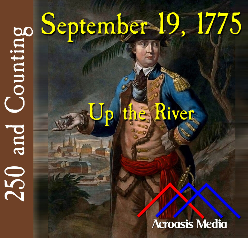
    Cover art for September 19, 1775: Color Mezzotint of Benedict Arnold, 1776 by Thomas Hart. From the Anne S. K. Brown Collection at Brown University. URL at time of upload: http://dl.lib.brown.edu/repository2/repoman.php?verb=render&id=1194635475812500&view=showmods # Call Number: UMP1776mf-1 (ASK Brown Call No.)

    We think of “Benedict Arnold” and the word “Traitor” comes immediately to mind. The two are essentially synonymous. Say one, and you’ve said the other.

    But Benedict Arnold was quite loyal to the Independence cause in the early days of the war. In fact, he was often eager to show what he could do. And why he switched sides is quite complicated and can’t really be answered quickly.

    There were times when he felt that injustices were suffered upon him by other generals and by the Continental Congress. Some of them were real but others, imagined.

    He had two painful battlefield wounds in a leg that was already plagued with gout. Was it a psychological issue?

    Was it a midlife crisis, during which his politics shifted? Given that he married a very young, very pretty and very Loyalist woman named Peggy Shippen, maybe he just did it for the nookie.

    Peggy Shippen is actually the most common explanation.

    At any rate, in 1775 Arnold was still on our side and embarked on an expedition to Canada that turned out to be far more complicated than anyone suspected it would be.

  • May 10, 1775: The Capture of Fort Ticonderoga

    Cover art for May 10, 1775: "Capture of Fort Ticonderoga" by Alonzo Chappel, 1858

    Mike has done a pretty good job of covering the basic story in today’s episode, so I thought I’d spend a minute with you on the cover art.

    This image, which had to be cropped to fit the parameters of podcast art, is called a “conjectural work”, because it was created many years later based on accounts of people who were there. I’ve also seen the phrase “idealized depiction,” but I think “conjectural work” is more value-neutral.

    The original artist was named Alonzo Chappel, and he created this image in 1858, 78 years after the original event. It was converted to an engraving by Thomas Philbrown. And I know all this because it’s part of the New York Public Library’s Digital Collection.

    How accurate is it to actual events? It may be pretty close, since there are several different images available, each depicting all the same people in similar poses (though one appears to be flipped from the others, so that everyone is facing the other way). So I think there’s a pretty high degree of confidence that it looked a lot like this.

    Enjoy.

  • May 1, 1775: Invasion of Quebec, and a Fort is Destroyed

    Cover art for May 1, 1775: a map used by Benedict Arnold to plan his invasion of Quebec.

    Wellll….ordered to be destroyed. But it didn’t happen. Oddly, it was also quite susceptible to the foibles of weather, so when the British took South Carolina back five years later, it was assumed that the garrison had been destroyed on purpose, but nobody knows for sure.

  • April 25, 1775: Benedict Arnold Wasn’t All Bad

    Cover art for April 25, 1775: Benedict Arnold engraving by Henry Bryan Hall after John Trumbull, published 1879.

    Benedict Arnold was a pretty smart guy who chose the wrong friends…and, as we’ll discover later on, the wrong enemies as well.

    But for the time being, here’s a peek into some of Arnold’s activities when he was still on our side in both body and spirit.