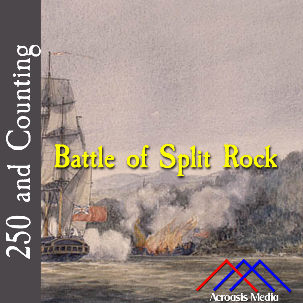
The Battle of Split Rock is really just a continuation of the Battle of Valcour, and a lot of it takes place in a location called Button Mould Bay (or Buttonmold Bay).
So why is it called the Battle of Split Rock?
That’s a fine question. On the western shore of Lake Champlain, just north of Button Mould Bay, is a formation called Split Rock Mountain. It rises sharply from the lake to an altitude of just over 1000 feet, and it’s where the confrontation between the British and the Americans resumed.
Button Mould Bay is an area of shallower water on the opposite side. It gets its name from a series of clay masses which have hardened almost to the point of concrete, into a shape much like an oversize button, or like the molds used in button making. Those concretions actually made it easier for Benedict Arnold to run his ship, and the galleys accompanying him, aground and set ablaze. This was the ship that had all of Arnold’s papers on it that I told you about the other day.
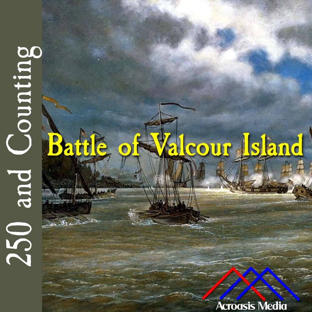
The Battle of Valcour Island didn’t really take place on the island; rather it was in Valcour Bay, a strait between New York and Valcour Island, in Lake Champlain.
After the failed invasion of Quebec the Continental forces retreated south to Fort Ticonderoga, at the south end of Lake Champlain. As they retreated they destroyed materiel they couldn’t use and left it behind in the relatively shallow, relatively narrow lake. This made navigating the lake tough for the British, so they took their time to get more reliable ships to assist with their next move.
That turned out to be a mistake.
As both sides prepared for the next conflict, the Americans scouted the lake and determined that they could effectively steer the British ships into Valcour Bay, where they would have ships waiting to fight them off. In addition, the wind was blowing the “wrong” way for British navigation, making things even tougher. Some British ships actually ran aground near the island but the battle itself was pretty brutal, with ships on both sides being badly hit. One British vessel’s powder magazine was struck and the entire ship exploded.
In the long run, however, darkness began to fall and both sides backed off. The Americans retreated, and the British basically stopped their attack largely because they were getting low on ammunition.
Benedict Arnold realized that Crown Point was no longer a viable defense point, so he destroyed and abandoned the fort, moving the forces to Ticonderoga. The next day, the British took Crown Point and remained there for about two weeks. Unfortunately, cold weather was already settling in and the decision was made to winter back up in Canada.
Remember when I said that taking their time was a mistake? Had they acted more quickly, they’d have beaten the weather AND caught the Americans by surprise. General Carleton and other officers recognized this in hindsight. Hessian commander Baron Riedesel noted, “If we could have begun our expedition four weeks earlier, I am satisfied that everything could have ended this year.”
And in a weird way, this battle was the catalyst for Benedict Arnold turning against the Americans. He’d lost a lot of personal papers during the battle, and when he requested compensation for some of his expenses in and following Quebec, he couldn’t provide documentation. He’d already been secretly negotiating with the British to change alliances (this would have been in late 1779), but that incident pushed him into resigning his command in order to be transferred to West Point, which he’d planned to surrender to the British.
Fortunately his plot was discovered and he fled to New York City, which was still occupied by the British. Eventually he got passage for himself and his family to England. He never set foot in the United States again.
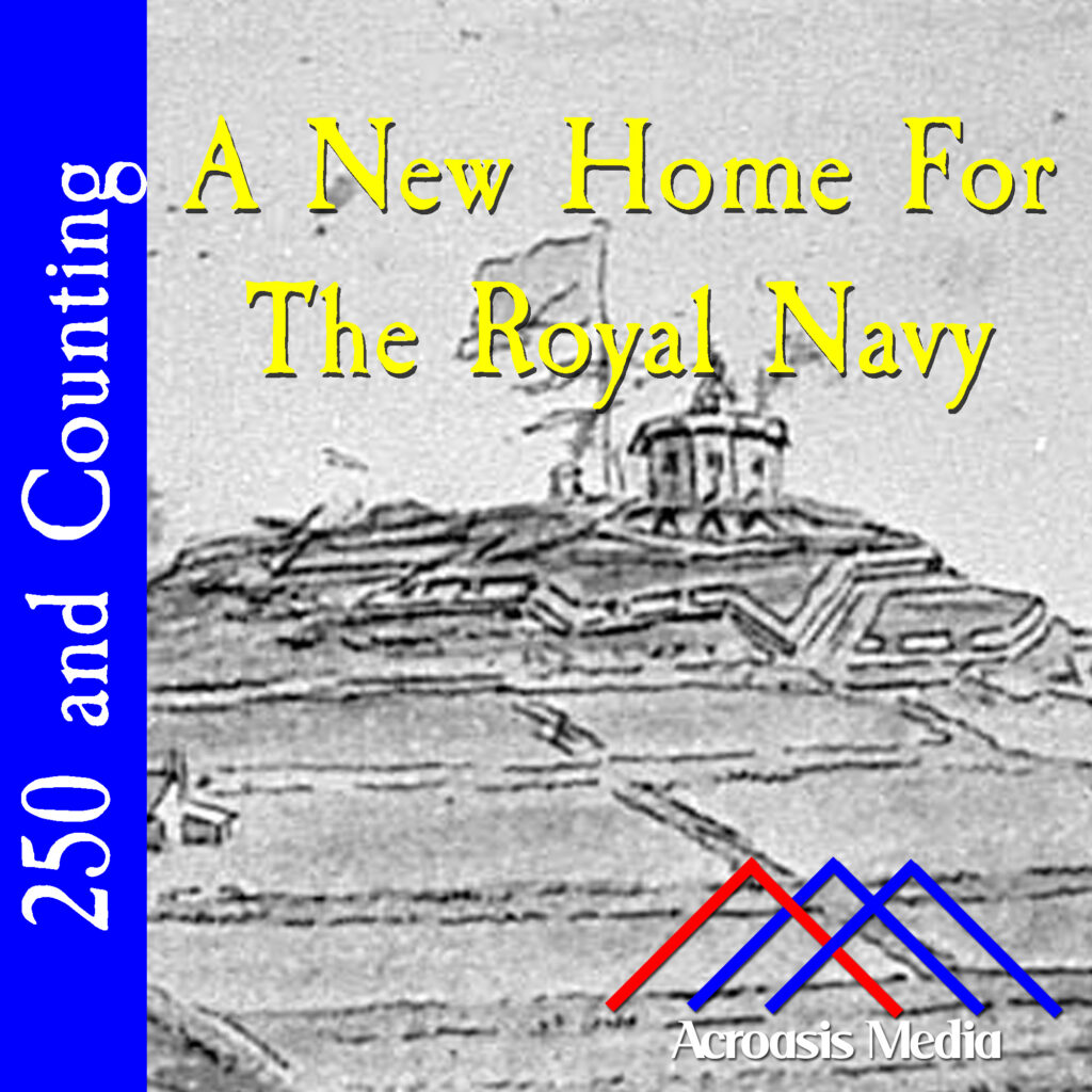
The image in today’s cover art is an engraving of Citadel Hill, around 1780.
Citadel Hill is a very popular historic site in Halifax, and while four forts have been built on this site, none of them have ever had to withstand a direct attack. In a couple of instances, structures near the Citadel were attacked, but never the building itself. It’s possible that the forts that were erected on the site served as deterrents.
The first Citadel was built in 1749. Fortifications were constructed on this hill to protect against raids by the French, colonial Akadians, and local tribes, especially the Mi’kmaq (pronounce it “MicMac”). By 1761 the fort was in ruins and a second, larger Citadel was built in 1776. This is the one in the artwork. While the garrison was always on alert, again it was never attacked, and by 1784 it was again in ruins. The third Citadel was built starting in 1796, when the old one was dismantled. This one was larger still and looked much like the current model, except it had more earthworks. During the War of 1812 some quick renovations were made in case the Americans attacked, but again the whole thing fell to ruin by 1825.
Construction for the current Citadel began in 1828. It was a huge masonry-construction star-shaped fort that took 28 years to finish. An incident in the nearby waters nearly dragged the Citadel into the American Civil War but again there were no attacks on the fort. Eventually it was restored by historians and in 1956 it opened as a historic site and home to the Halifax Army Museum. In the 1990s it was restored again to its 1869 appearance and is maintained as such.
The grounds of the Halifax Citadel are open year round. From spring to fall, a living history program features re-enactors portraying the 78th Highland Regiment (stationed at Halifax between 1869 and 1871), the 78th Highlanders (Halifax Citadel) Pipe Band, the Third Brigade of the Royal Artillery, soldiers’ wives, and civilian tradespeople. Parks Canada also hosts several re-enactment events each year by volunteers of the Brigade of the American Revolution and the two living history associations.
The Citadel’s role in the history of Halifax and North America is communicated through guided and self-guided tours, audio-visual presentations, and various exhibits. On average, the citadel sees over 200,000 visitors annually. A ceremonial firing of the noon gun is conducted daily by staff, and continues year-round, even when the site is closed to visitors. The artillery is also used for formal occasions such as 21-gun salutes.
The “Army Museum”, located in the Citadel’s Cavalier Block, displays a rare collection of weapons, medals, and uniforms exploring Nova Scotia’s army history. It is an independent non-profit museum, and staff work in close partnership with the Citadel staff and Parks Canada.
In July 2006, the Halifax Citadel celebrated the 100th anniversary of the withdrawal of the last British military forces from Canada. The Citadel hosted over 1,000 re-enactors from around the world. Approaching the Christmas season, Citadel Hill annually hosts a “Victorian Christmas”. Visitors are treated to crafts, carolers, and games, as well as a visit from Santa Claus.
Ghost tours are held at the fort in the weeks leading up to Halloween. Ghost tours! Nobody ever died in battle there, but we’re doing ghost tours. Fantastic.
So here’s a fun story about Charles Carroll. As I’ve mentioned many times before, lots and lots of place names in Baltimore have strong historical connections and Charles Carroll is no exception.
There is, of course, a Carroll Street, which starts in the southeast neighborhood of Morrell Park. It doesn’t go quite through that neighborhood though; it gets broken up by a couple of blocks’ worth of houses and resumes again. There’s another break as a railroad right-of-way comes through—but there’s no train crossing; the road just terminates. Carroll Street resumes (we’re still in Morrell Park) on the other side, however, before it’s interrupted yet again.
Now as I understand it, this particular part of the neighborhood was wiped out completely by Hurricane Agnes in the early 1970s, so the rebuild was kind of haphazard. Plus, I-95 was first constructed through this part of Baltimore City around this time, so you have to jump almost 3500 feet before Carroll Street resumes again.
But now you’re not in a residential neighborhood; it’s series of warehouses and industrial buildings for a stretch until it gets back into a residential neighborhood known as Pigtown, so called because on Market days, pigs would be led through the streets to the market for sale and eventual slaughter. Carroll Street meets with Cross Street in that neighborhood, and that’s the northern terminus.
However.
There’s an elementary school in the area that’s also named after Charles Carroll. It’s not on Carroll Street (of course) but is about two blocks away, in Pigtown. Now, remember, Charles Carroll was a lawyer, or a “barrister” as the old-timey types like to say. So Elementary School #34 is officially “Charles Carroll, Barrister Elementary School”. Except everybody forgets the comma is there and says it like one long name. And chances are, they think there was a guy actually named Charles Carroll Barrister somewhere in history.
And wasn’t that a long walk for a short drink of water.
The Death of General Montgomery in the Attack on Quebec (detail), by John Trumbull, 1786.Montgomery was struck in the head by grapeshot, so it probably wasn’t nearly as tidy as this.
While hindsight is very much a 20/20 vision, it’s still worth exploring why the Battle of Quebec went so poorly for the American side:
While General Montgomery was clever enough to attack during a storm, he didn’t necessarily expect Nor’easter blizzard conditions, which made it tough for his men to see where they were going without lanterns…
…which meant that there were likely sentries who probably got curious about a bunch of lanterns coming their way.
Many of the men on the American side were literally on their last day of enlistment, so they probably weren’t motivated to give it their all.
In fact, only about 50 Americans (including General Montgomery) were killed, and 34 wounded (including Benedict Arnold), but over 400 men were missing or captured. “Missing” could easily mean “went home.”
Many of the Americans were probably unprepared for the relatively close quarters of fighting in a city, which meant that they were unprepared for attacks from above.
Now, I am by no means a military expert, but these are the things that stood out for me just based on a quick read of the situation. It was hubris, and a brand of short-sightedness that this particular city got deep into the heads of Montgomery and Arnold, and they refused to let it go.
We gotta give Benedict Arnold this: he set a goal and he stuck to it.
Given the opportunity to take men and help invade Quebec through a kind of pincer move with General Montgomery, Benedict Arnold took 1100 men through the wilds of Maine to the St. Lawrence River, a trip that he thought would take 20 days over 180 miles.
But they ran into problems almost immediately involving weather, leaky boats, bad maps, bad terrain, illness and almost half the men turning back.
But make it he did, still with 600 men in tow, and with the help of the locals he got the sick ones healthy, the hungry ones fed, and established a base of operations for the next step, which we’ll talk about in just a few days.
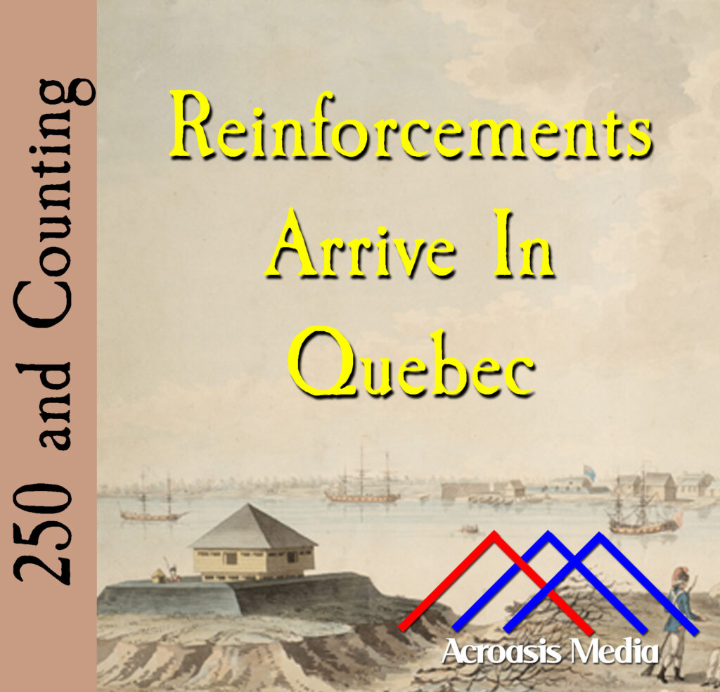
As we told you yesterday, Major Preston was hoping that reinforcements were coming in time to rescue him and his men from Fort St. Jean, so he tried to stall for time with General Montgomery. General Montgomery wasn’t biting, though, and the siege finally ended when Preston’s men surrendered.
Today, only a day later, a few hundred men arrive in Quebec from Newfoundland and Prince Edward Island, but it’s too late for the fort. On the other hand, when the Americans try to take out Quebec City, they’ll have a much tougher time than they thought (and they lost anyway).
Fort St. Jean was a relatively soft target compared to Boston. Plus, it wasn’t as well fortified because the British weren’t holed up there. Sooner or later something would come along to break up the stalemate.
On this day, a couple of somethings arrived, from Fort Ticonderoga and Crown Point. The big guns that Montgomery had hoped for finally arrived. And not long behind that, Montgomery was able to take Fort Chambly, which wouldn’t have been a huge deal had its commander not forgotten an important detail while he was high-tailing it out of there.
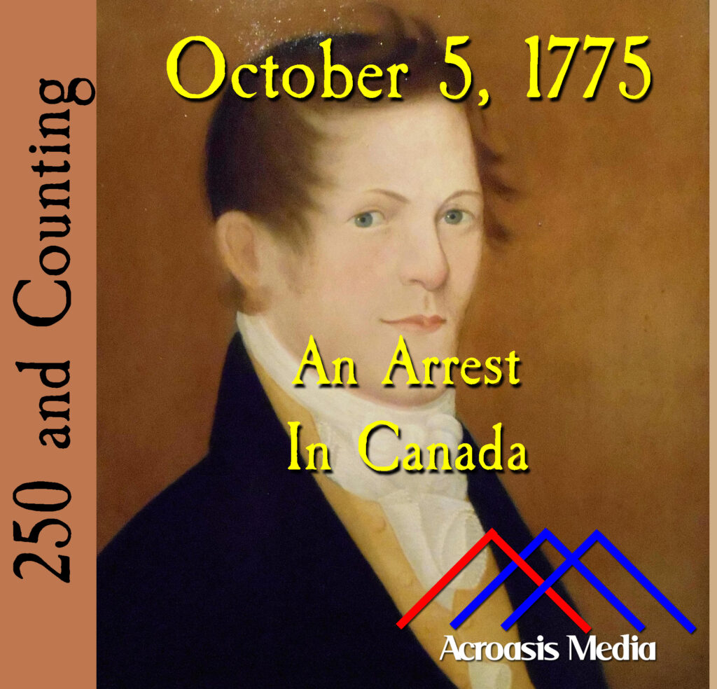
Thomas Walker was born in England and emigrated to Boston in 1752. In 1763 he moved to Montreal and became a merchant.
When the war broke out in the Colonies, both Walker and his wife’s sympathies remained with the Americans. So it was that he agreed to assist with the invasion of Montreal. The plan never got to the point where his task came in, but since he was known to be part of it, the word went out for his arrest.
Walker didn’t give up quickly but he was caught by the British for his crime. A month later he was put on a ship bound for Quebec, but it was captured by the Americans and he was released. He returned to Montreal(!) but when an American delegation showed up in May 1776, he decided to return to America with them, and he re-established himself in Boston. Unfortunately we don’t know a lot about what happened to him after that except that in 1785 he petitioned Congress for reimbursement for lost income because of the war.
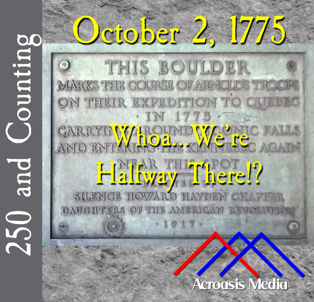
It was not so very long ago that some of us sought directions from Mapquest. Then we printed them out in order to make a trip of some kind.
It was only a little bit longer ago that we depended on physical maps to get places. In fact, if you’re a fan of the HBO show The Wire, you may recall a plot point that revolved around printed maps. A secret code led to a point on the map.
Back in the 18th Century, maps were very important resources for the overland traveler. And if a map had a mistake on it, you could be hopelessly lost. It’s not as though you could pull into Ye Olde Gas Station and get directions.
So the bad news for Benedict Arnold and Company is that the map he used to get to Quebec was terribly inaccurate. The good news is that it was largely incorrect from a distance standpoint. It could have genuinely been much worse.