Tag: General Henry Clinton

  • How Best To Invade New York?–October 8, 1776

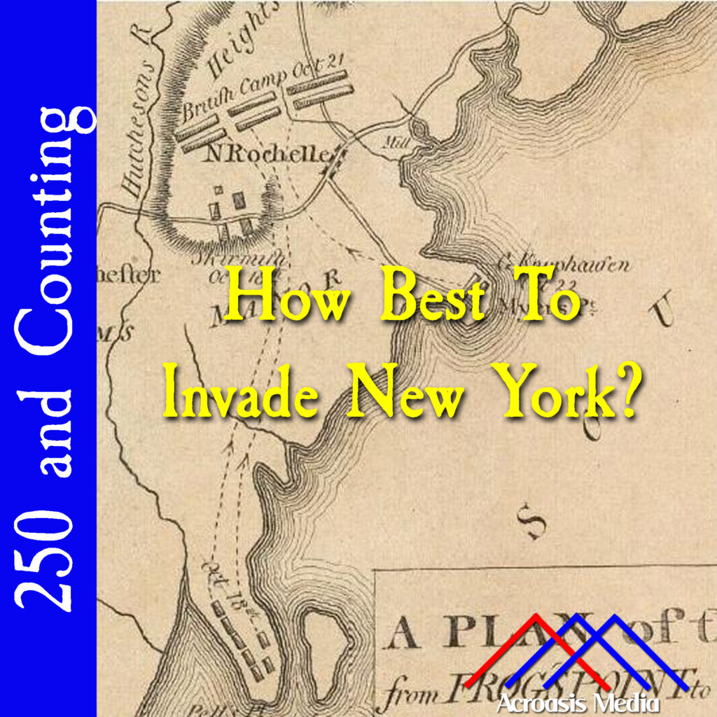
    Cover art for October 8, 1776: detail of a period map of the Manor of Pelham and the surrounding area. Throg's Point/Pells Point is at the bottom center of the map.

    There are several names for the battle about to happen here, depending on how you view the geography; Battle of Throgs Neck, Battle of Throgs Point, Battle of Pells Point and believe it or not that isn’t even half of the total names given to this one conflict.

    After George Washington’s successful defense of Harlem Heights, which was a good place to be from a defensive standpoint, the Continental and British armies were basically in a stalemate for a few weeks.

    The Americans were under the impression that the British would either attack Fort Washington, or make a flanking move through the Long Island Sound. Washington’s Council of War finally tried to guard against both possibilities (because this worked out so well when the British invaded Long Island…ugh). Ten thousand men remained to defend Harlem Heights and Fort Washington, while General William Heath took five thousand troops to the far side of the Hudson, near Fort Constitution and modern-day West Point.

    Ultimately General Howe chose a flanking maneuver but came in at a point much further south than Fort Constitution. In just a few days we’ll see how the confrontation works out.

  • Suspicious Movements–September 13, 1776

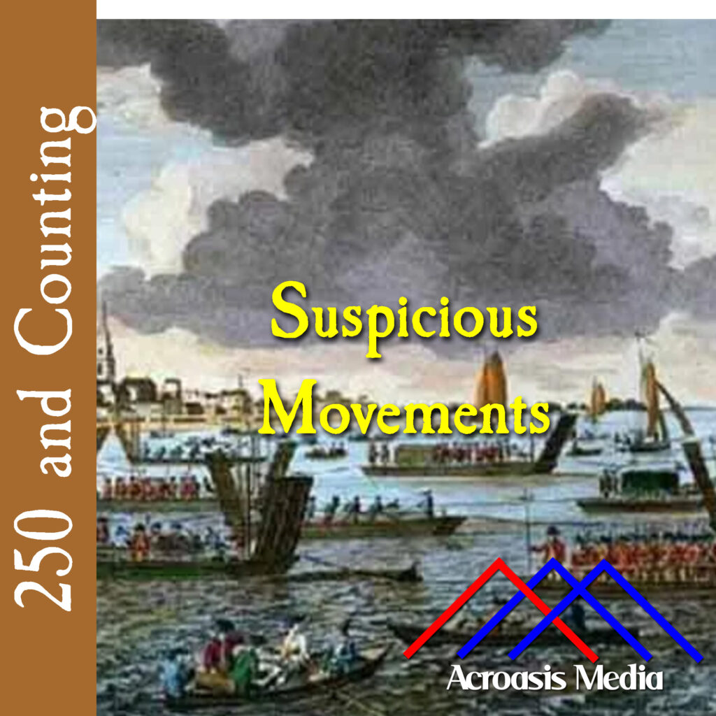
    Cover art for September 13, 1776: The British Landing at Kip's Bay, Watercolor drawing by Robert Clevely, 1777.

    When Patriot forces saw four ships moving into Bushwick Creek, it was ominous but probably not a huge surprise, given that the British already held Brooklyn. They put up largely token fire from their own strongholds and that was pretty much that.

    Washington knew that Manhattan was next, but it wasn’t clear how the attack would come, or from where specifically, but he’d already begun the work of getting people and materials out of town, so it probably wasn’t much more than a distraction for him.

    In fact, it was a distraction and a diversion, as we’ll learn in a couple of days. Whether it was strictly necessary is another question.

    A quick note on today’s artwork: Robert Clevely was a marine artist who was an eyewitness to the landing on Kip’s Bay. I figured it was worth mentioning because so many of the art pieces I wind up presenting here aren’t necessarily contemporary to their subjects. But this one is someone who was actually there.

  • Eve of Battle–August 26, 1776

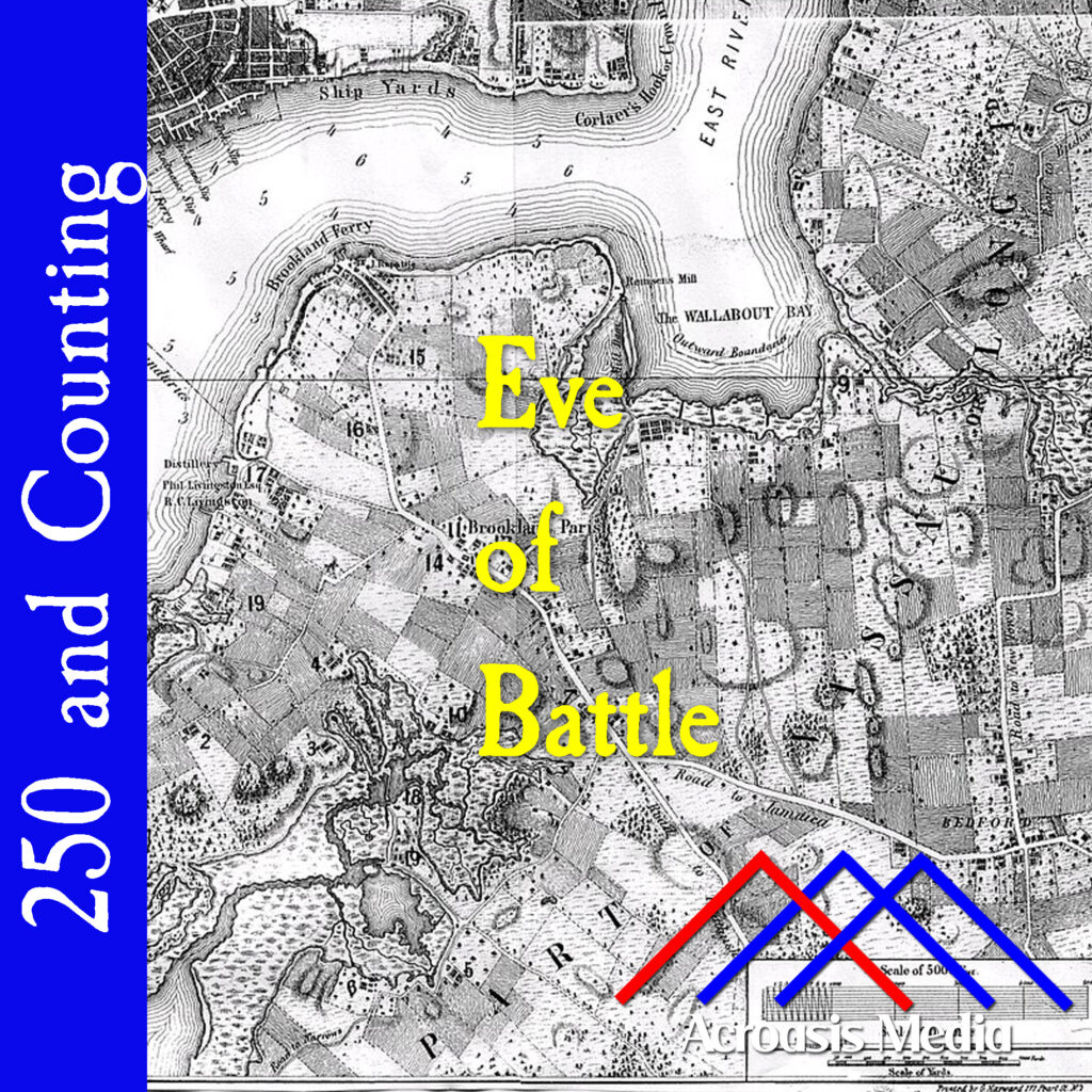
    Cover art for August 26, 1776: A map of Brooklyn by Bernard Ratzer, ca. 1766-67. The Guan Heights are marked as ovals at center right.

    At this point, both George Washington and General William Howe know that they’re literally on the eve of battle, and they’re making their final preparations.

    The British, along with the Hessians, were making plans to move along the Jamaica Pass (it’s the road just above the Acroasis logo in today’s art), which, while they didn’t know it, was relatively lightly guarded by the Continental Army.

    Washington’s tactic was to hold on to the Heights of Guan (the ovals to the right of the episode title, representing hills) and fortify Brooklyn Heights (far left center, about where the Brooklyn Bridge is today). It wasn’t a bad idea, but it didn’t match the British plans. And that’s largely where things went wrong. We’ll be talking about that in greater detail tomorrow.

  • Landing In Brooklyn–August 22, 1776

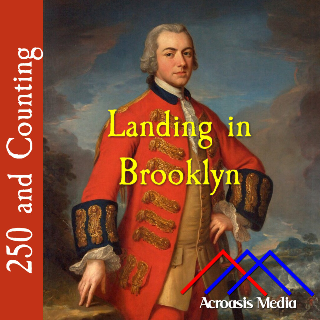
    Cover art for August 22, 1776: portrait of Henry Clinton, attributed to Andrea Soldi, ca. 1762-65

    One fine Thursday morning in August of 1776, about 4000 British troops, led by General Henry Clinton and General George Cornwallis, landed at Gravesend Bay in Brooklyn. By the end of the day, their number had swelled to over 16,000.

    George Washington’s problem was that he only heard about the initial 4000 later that day and decided that his guess regarding any invasion of Brooklyn was little more than a feint. Washington was no fool, but he was definitely wrong about this one.

  • May 25, 1775: Reinforcements Arrive From Britain

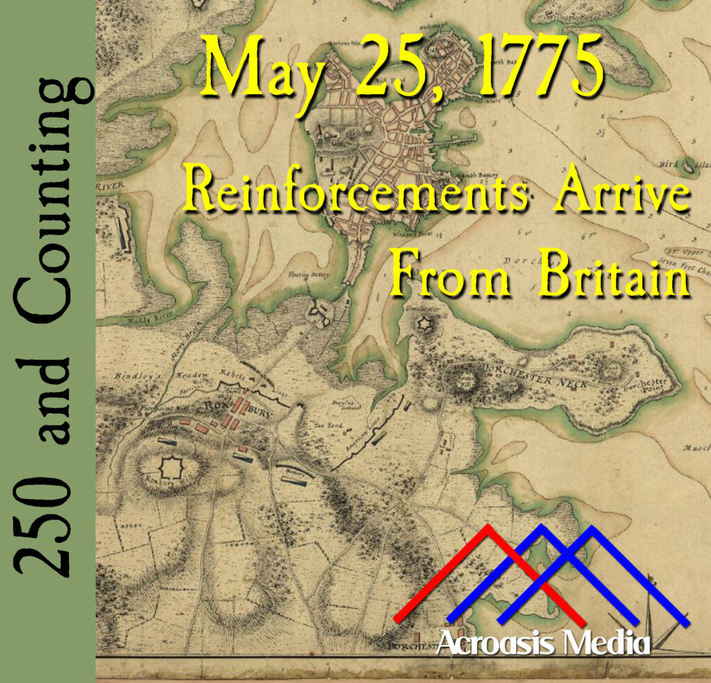
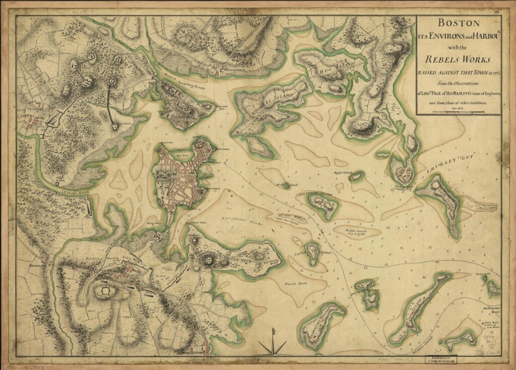
    Cover art for May 25, 1775: Map of Boston showing rebel placements, drawn by Sir Thomas Hyde in 1775 (detail). From the Library of Congress website.

    Sometimes it’s kind of tough to bring an image to life through an audio podcast, but we thought it was important enough that you needed to see it somehow.

    It’s oftentimes hard for us to understand just how wild the Thirteen Colonies were back in the day. In 1775, New York City was roughly a square mile of the southern tip of Manhattan. Where today’s Wall Street is was literally a wall, keeping out anything to the north. That’s another 13 miles of island (roughly) to the north which might have some Europeans living there, but not many. So, to that end…

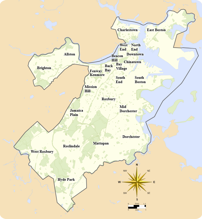
    This is a map of modern-day Boston, with a neighborhood breakdown on it, per the city’s Office of Neighborhood Services:

    And this is the full map from the cover artwork. They’re slightly rotated to one another (more likely, the 1775 map is pointed toward magnetic north than true north), but the heart of Boston, at center left, is essentially the tip of today’s South Boston. On the map above, the siege line is about where the word “South” is printed.

    So it was pretty easy to set up a line of defense to keep the city isolated, especially since the city was surrounded by water on three sides. Supplies and people could get in and out by water, but the city itself was still cut off for anyone approaching by land.