Tag: General William Howe

  • The Great Carrying Place–October 11, 1775

    Cover art for October 11, 1775: "Carrying the bateaux at Skowhegan Falls", drawn by Sydney Adamson; halftone plate engraved by CW Chadwick, 1903.

    Benedict Arnold and Company are still on the move toward Quebec. Over a three-week period they’ve moved fewer than 90 miles, with only…300 to go. Today they’ve reached The Great Carrying Place, a 13-mile walk alternating between woods and knee-deep mud, all while carrying everything they’ll need to get to Canada.

    Back in the Colonies proper, General Gage is being replaced by General Howe. Gage was largely responsible for the Siege of Boston, especially since they weren’t able to break that siege. And then Bunker Hill came along. Sure, the British won but at great cost—a Pyrrhic victory. Once word got back to Britain about that, Lord Dartmouth appointed Howe within a couple of days. Of course, it took several weeks for the news to get back to America, and on September 26 he learned he was being replaced. By this days’ end, Gage was on his way back to Britain.

  • The British Have War Plans (October 9, 1775)

    Cover art for October 9, 1775: portrait of George Germain by George Romney, 1766.

    By now the British appear to accepted the fact that the war was going to go on for much longer than they thought. They thought that fighting the colonies would be a cake walk.

    They discovered that it was quickly becoming a quagmire.

    Fortunately they recognized it and began to make plans. Lord Dartmouth and General Howe started drawing something up that involved isolating Washington’s army from the rest of the Colonies, but George Germain, who was about to replace Lord Dartmouth, thought more aggressively. He didn’t want to defeat the Colonies; he wanted to punish them, besides.

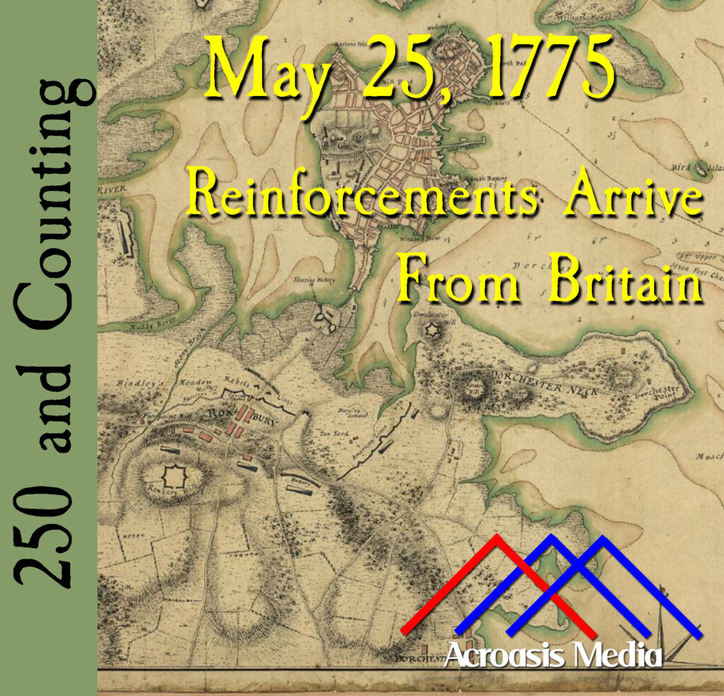
  • May 25, 1775: Reinforcements Arrive From Britain

    Cover art for May 25, 1775: Map of Boston showing rebel placements, drawn by Sir Thomas Hyde in 1775 (detail). From the Library of Congress website.

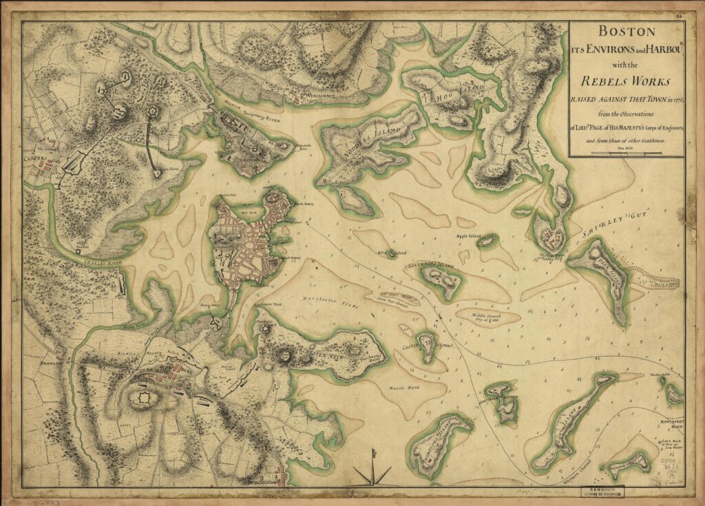
    Sometimes it’s kind of tough to bring an image to life through an audio podcast, but we thought it was important enough that you needed to see it somehow.

    It’s oftentimes hard for us to understand just how wild the Thirteen Colonies were back in the day. In 1775, New York City was roughly a square mile of the southern tip of Manhattan. Where today’s Wall Street is was literally a wall, keeping out anything to the north. That’s another 13 miles of island (roughly) to the north which might have some Europeans living there, but not many. So, to that end…

    This is a map of modern-day Boston, with a neighborhood breakdown on it, per the city’s Office of Neighborhood Services:

    And this is the full map from the cover artwork. They’re slightly rotated to one another (more likely, the 1775 map is pointed toward magnetic north than true north), but the heart of Boston, at center left, is essentially the tip of today’s South Boston. On the map above, the siege line is about where the word “South” is printed.

    So it was pretty easy to set up a line of defense to keep the city isolated, especially since the city was surrounded by water on three sides. Supplies and people could get in and out by water, but the city itself was still cut off for anyone approaching by land.