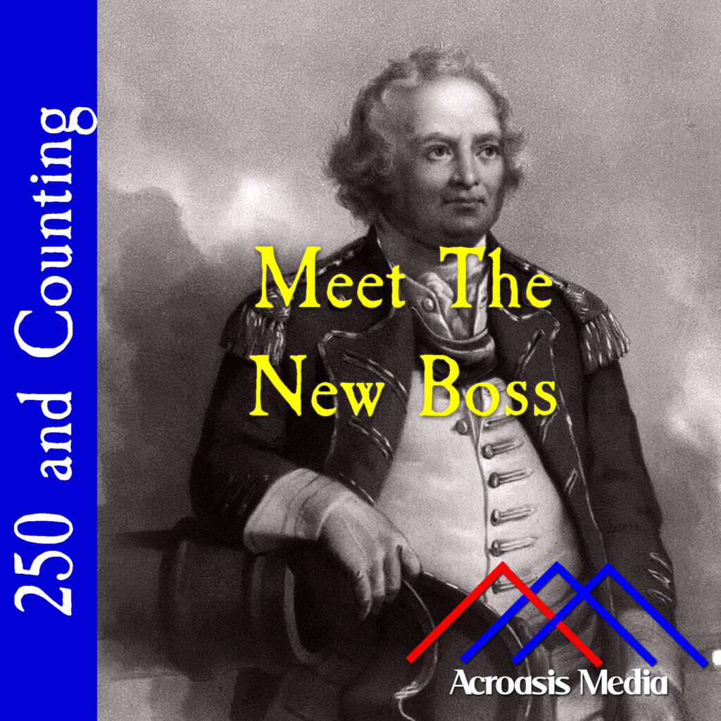
That George Washington chose to add Israel Putnam to his leadership rolls in Brooklyn isn’t specifically mysterious. What is mysterious is that Putnam was added rather than used as a replacement for someone else.
As a result of that move, there were essentially two men in charge on Long Island, with Putnam as the theater commander and General John Sullivan, who’d arrived only a couple of days earlier, in charge of ..something else?
I’m reminded of a story from when I was a youngster and my family went up to Fort William Henry, on Lake George in upstate New York. It was built by the British during the French and Indian War, but it wasn’t built to withstand artillery, so when the battle started, the fort had to surrender pretty quickly. At any rate, one of the docents, dressed in period clothing, demonstrated how a flintlock rifle worked: he set up the powder, etc, put a musket ball into the gun (my memory is hazy on the specific details here), then he took aim, out toward the lake so nobody would get hit…and the gun misfired, the hammer simply banging down ineffectually.
>click<
And someone in the tour group, who may have been my mother (is the statute of limitations up yet?) said, “No wonder you lost.”
Same thing happened on Long Island: poor planning, confusion regarding leadership roles, and being generally outnumbered.
The day after the British landed on Long Island, George Washington was disheartened to learn that army provisioning wasn’t at the level he’d expected, despite his orders only a week earlier.
It was bad enough that he’d been caught a little flatfooted by both the magnitude and the direction of the British movement, now he discovers that troops he’d ordered to move had done so without proper provisions.
So, he took the time to create new orders regarding army provisioning and ensure that the General Commissary had the manpower to do what it needed to do. He also took the time to write an inspirational note to the troops, which we couldn’t do in a two-minute show, but which read thus:
The Enemy have now landed on Long Island, and the hour is fast approaching, on which the Honor and Success of this army, and the safety of our bleeding Country depend. Remember officers and Soldiers, that you are Freemen, fighting for the blessings of Liberty—that slavery will be your portion, and that of your posterity, if you do not acquit yourselves like men: Remember how your Courage and Spirit have been dispised, and traduced by your cruel invaders; though they have found by dear experience at Boston, Charlestown and other places, what a few brave men contending in their own land, and in the best of causes can do, against base hirelings and mercenaries—Be cool, but determined; do not fire at a distance, but wait for orders from your officers—It is the General’s express orders that if any man attempt to skulk, lay down, or retreat without Orders he be instantly shot down as an example, he hopes no such Scoundrel will be found in this army; but on the contrary, every one for himself resolving to conquer, or die, and trusting to the smiles of heaven upon so just a cause, will behave with Bravery and Resolution: Those who are distinguished for their Gallantry, and good Conduct, may depend upon being honorably noticed, and suitably rewarded: And if this Army will but emulate, and imitate their brave Countrymen, in other parts of America, he has no doubt they will, by a glorious Victory, save their Country, and acquire to themselves immortal Honor.
Yes, I said that cowardice “will not be tolerated” in the episode; clearly I under-sold that one.
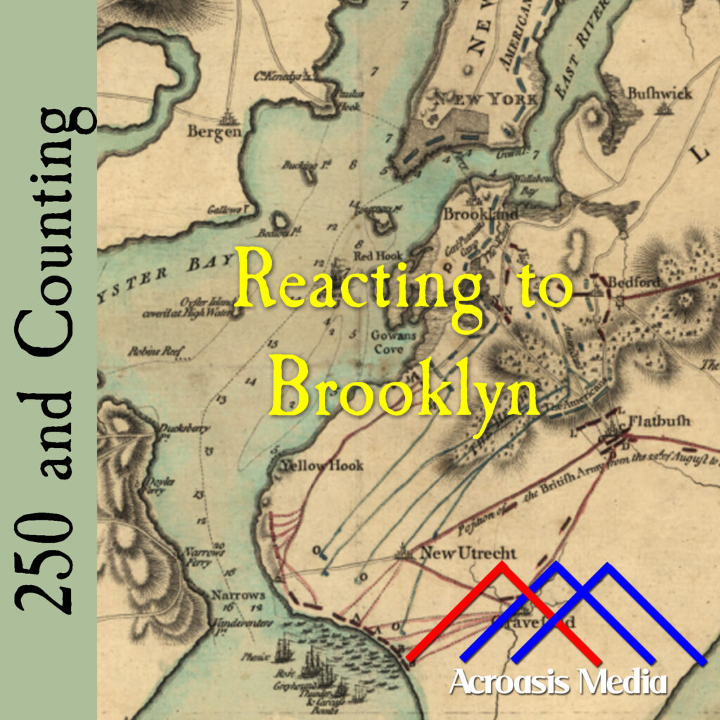
One fine Thursday morning in August of 1776, about 4000 British troops, led by General Henry Clinton and General George Cornwallis, landed at Gravesend Bay in Brooklyn. By the end of the day, their number had swelled to over 16,000.
George Washington’s problem was that he only heard about the initial 4000 later that day and decided that his guess regarding any invasion of Brooklyn was little more than a feint. Washington was no fool, but he was definitely wrong about this one.
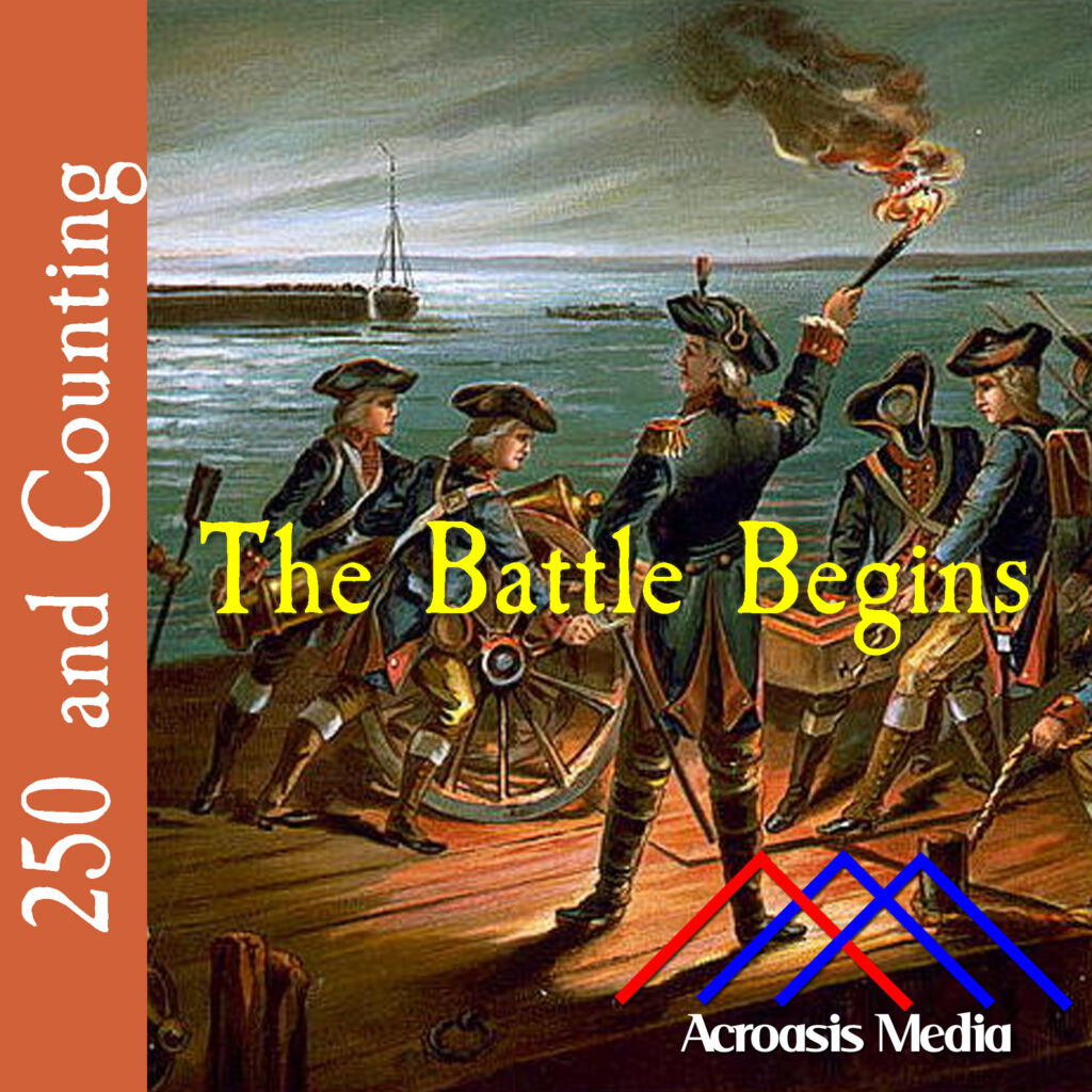
It’s been coming for at least two months, and the Battle of Long Island has finally begun.
As we’ve noted a few times the past couple of days, George Washington had to make a few educated guesses about what the British were planning to do, but this left his troops thinly spread throughout Brooklyn and Manhattan, which left the Continental Army at a big disadvantage.
While numerous skirmishes have broken out up and down the coast between the British and American militia forces from time to time, this was Washington’s first major tangle with the British Army. That it didn’t go so great wasn’t his fault; that it didn’t go as badly as it could have is entirely his doing, as we’ll learn in a few days.
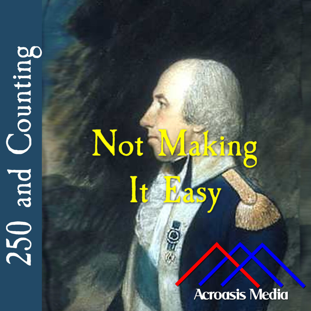
The reason that this portrait—and most of the others—of Rufus Putnam is in profile is that, when he was a child, one of his eyes was disfigured in an accident, giving it a, “outward, oblique cast.”
Putnam joined the Revolutionary War effort the very first day, after the battle at Lexington and Concord. During the Siege of Boston, Putnam directed efforts to fortify Dorchester Heights. Part of what had the British so flummoxed about that wasn’t that he did a good job (though he did), it was that he managed to get it all up and in place so fast.
Rufus Putnam worked his way up through the ranks quickly, so that by the time he was in New York, he was a colonel and designated an engineer.
But in December 1776, when the Continental Congress rejected his proposition to establish a national corps of engineers, Putnam resigned his commission. His resignation was short-lived and he eventually joined the Continental Army and served under Major General Horatio Gates. Putnam commanded two regiments in the battle of Saratoga.
He continued to work on critical fortifications, including Fort Putnam at West Point in 1778. In 1779 Putnam served under Major General Anthony Wayne in the Corps of Light Infantry following the capture of Stony Point, commanding the 4th Regiment. Putnam’s remaining military career was less eventful. In January 1783 he was commissioned as brigadier general.
After the war, Putnam returned to Massachusetts and returned to his original work as a surveyor. But a few years later, in 1788, Putnam led a group of veterans to settle land in the west, where they established what we now call Marietta, Ohio, the first European-American permanent United States settlement in the Northwest Territory. Putnam was appointed to serve as one of three judges of the Northwest Territory after Samuel Holden Parsons died. Marietta was settled on land that the local natives considered theirs, and it took a couple of years for the Ohio Brigade (with Putnam in the lead) to beat them back.
As Ohio residents organized to write a constitution and be admitted as a state, in 1802 Putnam was elected a Washington county delegate to the Ohio Constitutional Convention.
Putnam died on May 4, 1824, and was buried at Mound Cemetery in Marietta, Ohio.
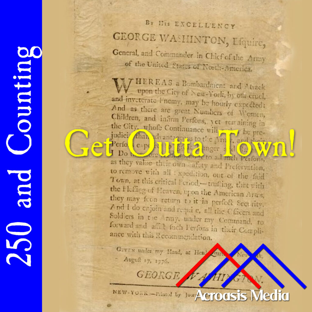
Ever the polite man, George Washington strongly urged (rather than ordered) civilians to evacuate Manhattan before the British began their attack.
Washington’s biggest problem was that he knew that the British were coming, but he had no idea how they were going to do it, given that Manhattan is an island, and while Brooklyn is not (its location at the west end of Long Island notwithstanding; work with me a little here), it’s still got a lot of coastline to defend. So even if Washington had a number of troops similar to the Howes, they’d likely be stretched a little thin. With slightly more than half the British strength, he’s definitely stretching thin.
So to evacuate Manhattan was the smartest move, since there was practically no way he could defend the land and the people living on it. The best he could do it say “please go, and with any luck you’ll be back before you know it.”
Unfortunately, “before you know it”, in this case, meant “not until 1783.”
Nathanael Greene was among the first to step up when the shooting started at Lexington and Concord. This is almost certainly because a British official seized a vessel owned by Greene and his brothers.
After the Intolerable Acts were enacted in 1774, Greene organized a militia unit called the “Kentish Guards.” Despite his leadership, he was not selected as an officer in that militia because he had a limp he’d acquired in childhood (there are no records extant showing why this was the case.)
However, when the war broke out, Greene was selected to lead the Rhode Island Army of Observation and head to Boston. That company was involved with the battle at Bunker Hill but Greene wasn’t there for it; he was visiting home at the time.
Later that month, the Continental Army was established, and he became Brigadier General Nathanael Greene. Greene remained with the Boston-based forces after the siege of that city ended, but he rejoined Washington shortly thereafter in New York. As we note in today’s episode, Greene was ill with a severe fever when the Battle of Long Island broke out, but he was able to take command for the Battle of Harlem Heights in September, during the withdrawal from Manhattan. We’ll talk about that more in a few weeks.
I promised you a postscript for the Christopher French story, but let me offer up some broader context first.
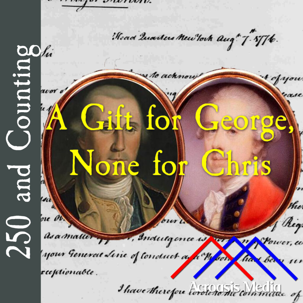
In July 1776, French wrote to George Washington from Connecticut, where he was being held as a prisoner of war. The purpose of the letter was to request parole from his confinement.
Washington’s reply reads:
Sir: I am to acknowledge the receipt of your favor of the [the date is missing here but from other documents it was probably the 22nd] July, intimating your expectations of release on the 12th. of this month.
I have considered your Parole, advised with those whose Knowledge and experience gives weight to their Opinion, and otherwise endeavoured to inform myself how far your Construction of it is founded upon Justice, Reason or Usage; I do not find it warranted by either, My Duty therefore Obliges me to over rule your Claim as a matter of Right. As a matter of favor, Indulgence is not in my Power, even if your General Line of Conduct as a Prisoner had been unexceptionable.
I have therefore wrote to the Committee of Hartford, sent them a Copy of this Letter and hope you will, without Difficulty, conform to the Regulations already made with respect to Prisoners, by the General Congress.
It is probable a general Exchange of Prisoners will soon take place, it will then be a pleasing part of my Duty, to facilitate your return to your Friends and connections, as I assure you it is now a painful one to disappoint you, in an Expectation which you seem to have formed, in a full Persuasion of being right and in which on mature Deliberation, I am so unhappy as totally to differ from you. I am Sir etc.
This much you knew. Here’s the postscript. Christopher French wrote another letter subsequent to the one Washington responded to. In that letter, which Washington received on August 8, it appears that French withdrew his request. Washington immediately sent a second letter, responding to this one:
Sir: I was unwilling to determine hastily, upon your claim of a Release founded upon your Parole, and therefore delayed the acknowledgment of your favor of the 22d July, until I should fully inform myself. I had accordingly wrote you Yesterday, that I was so unhappy as to differ from you in the construction you had put upon it, but as there was reason to believe, a General Exchange of Prisoners might soon take place, I should chearfully facilitate your return to your Friends.
Last Night I received your favour of the 5th. August waving your Claim of a Release, which makes any farther Discussion of that matter unnecessary. Your other proposal, of being exchanged for Major Meigs or Col. Allen, will meet with no Objection from me; should you write to General Howe on the Subject the Letter shall be chearfully forwarded and his Answer returned.
Should any Difficulty arise in the Exchange, I am doubtful, how far I should be authorized, without consulting the Congress, to grant you an Indulgence similar to that of Major Meigs, which I have been informed was allowed in consequence of his saving the Life of a British Officer, either nearly connected with, or much esteemed by General Carlton.
However, you may assure yourself Sir, that both Duty and Inclination lead me to relieve the unfortunate and that I agree with you, that your long and early Captivity gives you a very just Claim to special Notice, and I shall be happy in furthering your Wishes, as far as my Station will admit. I am Sir, etc.
In short, Washington was happy to be relieved of the burden of refusing the initial release, but also still more than willing to cooperate should a prisoner exchange take place.
At this point, Americans were fighting a two-front war. More accurately, they were fighting two wars against different enemies: the Cherokee in the southwest areas of the country (so far), and the British…well, practically everywhere else. But today we’ll focus on the British in New York.
After yesterday’s disaster in the Ninety-Six District of South Carolina, the Cherokees, plus a bunch of Loyalists, moved east about 30 miles to Seneca, which at that time was called Esseneca Ford.It was there that they met up against Andew Williamson, who they outnumbered by something like four-to-one. But with the assistance of some men on horseback, plus another batch of reinforcements, the Cherokees were forced to retreat.
In New York, the British, along with a huge number of Hessian mercenary soldiers, were massing in Staten Island with an eye toward taking Manhatten, Long Island and the Hudson Valley in an effort to cut off New England. George Washington will be facing an enormous battle very soon, but on Monday we’ll be telling you about something at least as important fo the General.
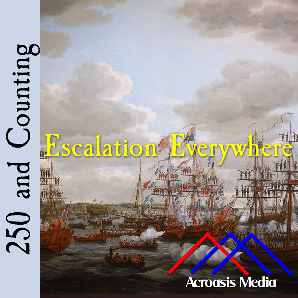
The presence of the British in Staten Island wasn’t a big mystery, but within a month after they first arrived, the number of ships in New York Harbor was well over 100, and still growing.
And, as George Washington suspected (along with many others), the British began moving up the rivers surrounding Manhattan, working their way up the Hudson River in the effort to use New York as a wedge between New England and the rest of the colonies. Specifically, if supplies couldn’t get through, then it weakens both sides of the line.
As for New York itself, part of Washington’s problem was that he didn’t know if the British plan was to take New York City (still a small chunk of Manhattan Island at that time), or to move through Long Island. As a result he had to hedge the bet a little bit and send troops in both directions, spreading the Continental Army rather thinly. This may have forced the British to do something quite similar, but they still had Washington vastly outnumbered.