Tag: Siege of Boston

  • September 3, 1775: The British Move To Break the Siege

    Cover art for September 3, 1775: Early map of Boston showing the neck. From the collection of Historic New England. The blue line shows present-day Washington Street.

    Anyone who’s been to Boston in the modern day has a hard time recognizing that the city of Boston was just the segment in the top center of the map. The area called Boston Neck is clearly marked at the bottom left, and wasn’t part of the city. The Continental Army’s line ran about where the blue line ends. (The blue line is modern-day Washington Street.)

    It was the city having that kind of geography that made the Siege of Boston relatively easy for the Patriots. Unfortunately for them, the British were still able to use the surrounding waterways.

    This made the siege not the battle of attrition that it could have been, since supplies were able to get in via water. Consequently it was an ongoing battle of wits, as we learn today.

  • August 14, 1775: “Stolen” Goods From Bermuda

    Cover art for August 14, 1775: Map of Bermuda from 1778, origin not known to this writer.

    There’s an episode of The West Wing in which Leo McGarry explains how, several years earlier, the President wanted to meet the Dalai Lama. The problem was that China was strongly opposed to such a meeting, so they arranged for an “accidental” meeting between the two:

    Set up a low-level meeting with someone else and leave the door open. The President wanders by, “Hey, how ya doing, Dalai Lama?”

    The point is, diplomacy can be weird. And when the Continental Army, needed gunpowder from Bermuda, it was arranged to have the gunpowder be “stolen” from their armory and somehow make its way into American hands.

    Who knew!

  • August 11, 1775: Washington Gets Serious About POWs

    Cover art for August 11, 1775: A sample of George Washington's handwriting in a letter. It's NOT the letter described in today's episode (hence the blurring).

    While today is perhaps the earliest documented instance of George Washington expressing concern for his captured troops, it certainly wouldn’t be the last. For years he worried about this, largely because the British didn’t always consider the Continental Army to be a genuine army, nor did they consider themselves to be “at war” with America; instead this was some kind of petty grievance that needed to be put down.

    As a result, Washington was in frequent communication with his counterparts on the British side, and several people on the Colonial side, expressing his worry that his men were being treated poorly…or worse.

  • August 8, 1775: The Battle of Gloucester

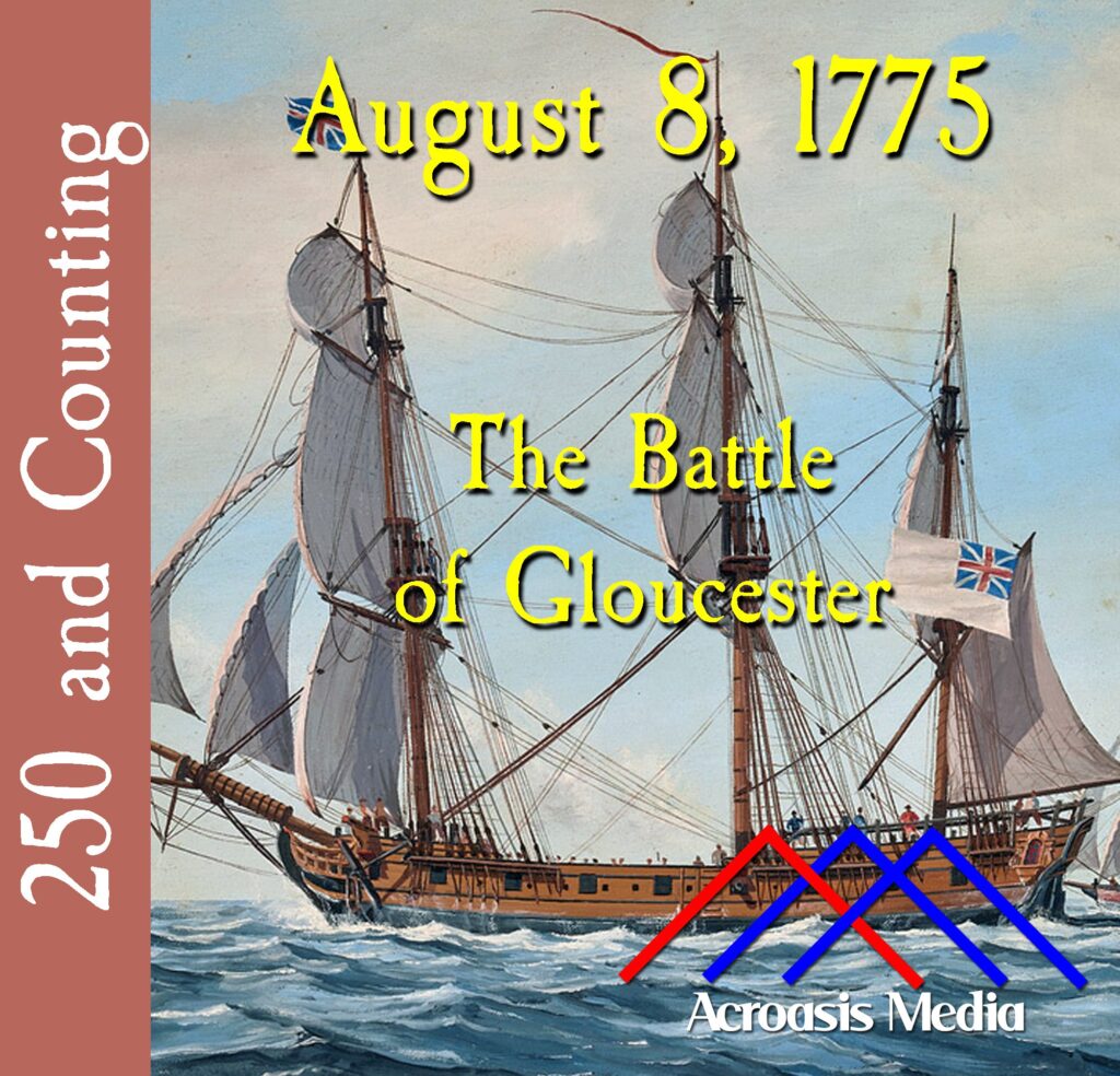
    Cover art for August 8, 1775: the HMS Falcon

    It was another net win for the Americans as the HMS Falcon, which had originally been assigned to the Colonies to enforce the Intolerable Acts, took a run at stealing livestock in order to provision the British who were stuck in Boston during the siege.

    Unfortunately for them, the Colonists were wise to their moves and took appropriate action…more than once.

  • August 1, 1775: The Ammunition Crisis

    Cover art for August 1, 1775: Portrait of Elbridge Gerry

    For those of you who are coming here from Hamilton Radio for the first time: welcome to 250 and Counting!

    Each day we spend just a couple of minutes telling you about some event that took place exactly 250 years ago today, to give you an idea of some of the events leading up to, and then beyond, our nation’s 250th birthday next year.

    For those of you who aren’t new to the show, you may remember a couple of days ago, when the British tried to break out of the Siege of Boston by launching an attack at Charlestown Neck. Their attempt failed, but George Washington and the Continental Army got very lucky, because they had no idea that they were low on gunpowder and the raw materials needed to make ammunition. In a couple of days we’ll learn what they did to address the problem.

  • May 25, 1775: Reinforcements Arrive From Britain

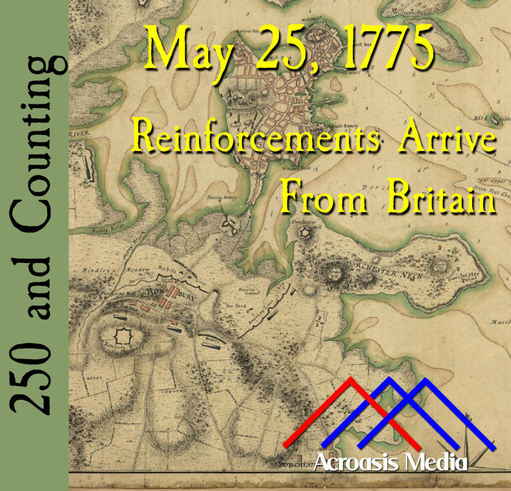
    Cover art for May 25, 1775: Map of Boston showing rebel placements, drawn by Sir Thomas Hyde in 1775 (detail). From the Library of Congress website.

    Sometimes it’s kind of tough to bring an image to life through an audio podcast, but we thought it was important enough that you needed to see it somehow.

    It’s oftentimes hard for us to understand just how wild the Thirteen Colonies were back in the day. In 1775, New York City was roughly a square mile of the southern tip of Manhattan. Where today’s Wall Street is was literally a wall, keeping out anything to the north. That’s another 13 miles of island (roughly) to the north which might have some Europeans living there, but not many. So, to that end…

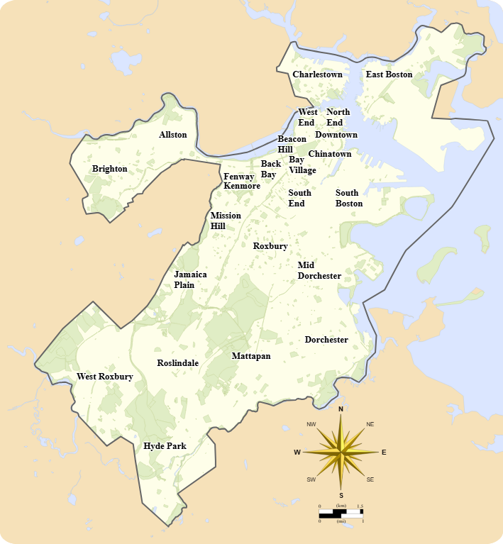
    This is a map of modern-day Boston, with a neighborhood breakdown on it, per the city’s Office of Neighborhood Services:

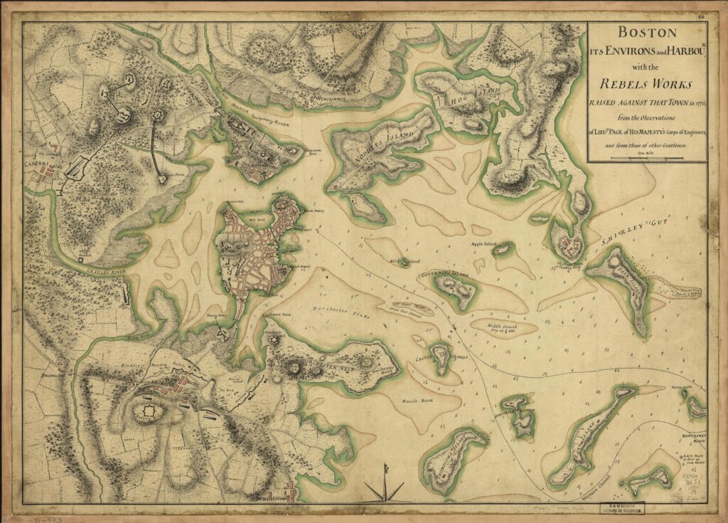
    And this is the full map from the cover artwork. They’re slightly rotated to one another (more likely, the 1775 map is pointed toward magnetic north than true north), but the heart of Boston, at center left, is essentially the tip of today’s South Boston. On the map above, the siege line is about where the word “South” is printed.

    So it was pretty easy to set up a line of defense to keep the city isolated, especially since the city was surrounded by water on three sides. Supplies and people could get in and out by water, but the city itself was still cut off for anyone approaching by land.