Category: Virginia History

  • Protecting the Chesapeake–December 19, 1775

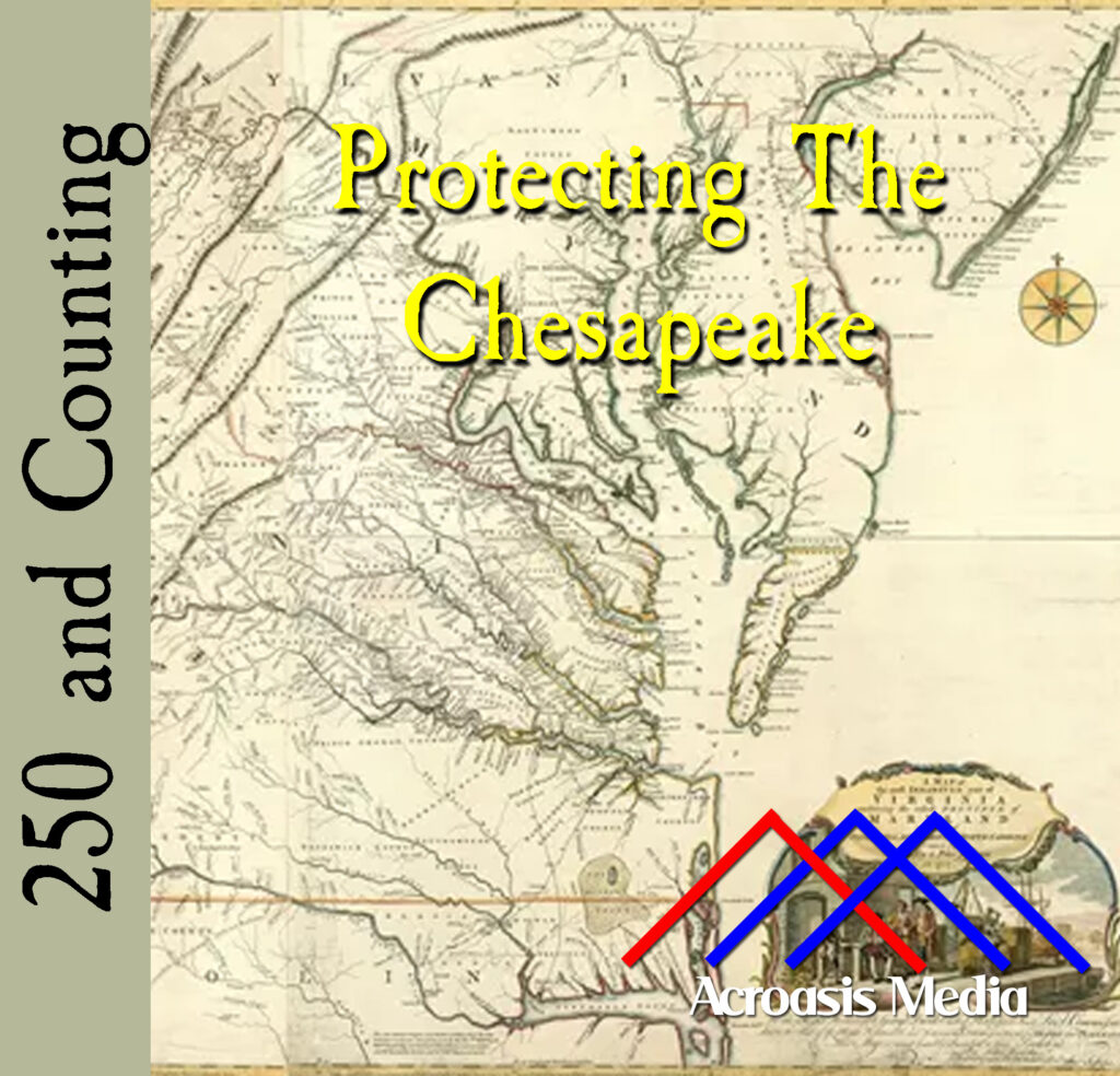
    Cover art for December 19, 1775: The Fry-Jefferson Map of the Chesapeake Bay area, commissioned in 1750 and completed in 1753.
    The Fry-Jefferson Map of the Chesapeake Bay area, commissioned in 1750 and completed in 1753. This was also one of the first maps of the area that had the “North is Up” orientation.

    The Great Chesapeake Bay, which is protected by the Delmarva Peninsula (DELaware, MARyland, VirginiA, get it?) is a watershed area that is hugely important for these three states, plus New York, Pennsylvania and New Jersey.

    Because of its importance, there are sensor buoys all over the place, measuring water temperature, salinity levels, turbidity (how clear the water is), air pressure and maybe a dozen other factors. They’re connected to NOAA (National Oceanic and Atmospheric Administration), and you can actually get the data for your own research here. I’ve actually used it in the classroom to demonstrate how bad weather can affect things like salinity, or how fertilizer-laden water runoff from farms can lead to algae blooms.

    It’s been called “Chesapeake” for so long that historians and etymologists aren’t quite sure where it derives from. It could be a corruption of the Algonquin word Chesepiooc; it could refer to the Chesepian people a tribe from the modern-day Hampton Roads area of Virginia. According to Wikipedia it’s the seventh-oldest place name in the US, but they weren’t telling what #1 through #6 are.

    It’s also—especially in the 18th Century—rather hard to defend. And while the Continental Congress dragged its feet a little bit to get the Navy raised, the more-nimble Virginia Convention commissioned a few ships of their own. Their first was a ship aptly named the Patriot.

  • Washington Has Some Intel–December 18, 1775

    Cover art for December 18, 1775: A hand-colored printed halftone of a 19th-century illustration of George Washington writing at his desk.
    A hand-colored printed halftone of a 19th-century illustration of George Washington writing at his desk.

    Military Intelligence is a peculiar thing, if only because you never know where it’s going to come from, and/or what it’s going to affect.

    And that’s where today’s episode comes in, because Congress received a letter written today which detailed some plans for British military activity in Virginia. What’s surprising is that the intelligence came from…George Washington, in Cambridge, Massachusetts.

    Washington was the lucky recipient of food that had been intercepted on its way to the British folks under siege in Boston. He also received several documents outlining plans that were afoot in Virginia, and he dutifully passed them along.

    Most of it was related to Great Bridge, which had already seen some action, but it still put Congress wise to the fact that the war wasn’t only taking place in the northeast, and that military intelligence can come from anywhere.

  • The Battle of Great Bridge–December 9, 1775

    Cover art for December 9, 1775: Sketch of the Battle of Great Bridge by Lord Rawdon. Title: A view of the Great Bridge near Norfolk in Virginia where the action happened between a detachment of the 14th Regt: & a body of the rebels. Key: A. A stockade fort thrown up by the regulars before the action. B. Entrenchments of the rebels. C. A narrow causeway by which the regulars were forced to advance to the attack. D. The church occupied by the rebels. Once again, the map has North toward the bottom.
    Note once again that the map is drawn with North on the bottom. Hover to get the guide to the markers.

    The Battle of Great Bridge is a little bit overlooked these days, and more’s the pity. It was the first battle in Virginia, it was a big victory for Patriot troops, the Royal Governor and his crowd got pushed out altogether, and nobody died on the Patriot side.

    On the British side, about 100 soldiers were dead. The last time the British lost a substantial number of troops, it was at Bunker Hill, which they won. (The vocabulary word you seek is “Pyrrhic Victory.”)

    Best of all, it fueled Virginia’s moves toward independence.

  • Tensions Rise At Great Bridge–December 7, 1775

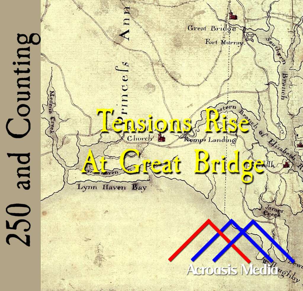
    Cover art for December 7, 1775: Detail from a map circa 1785 showing the Norfolk area. Oriented with North to the bottom, Fort Murray is visible near the top of the map. via Library of Congress Geography and Map Division.

    The map in today’s cover art might be a little confusing to people who live and work in the modern-day Norfolk area. That’s because it’s oriented with North at the bottom. What’s not known is why this was done in this particular case. North/Up South/Down is, of course, the usual convention, and there are arguments that there’s a psychological component to this (e.g. north/up is somehow “better” than south/down).

    From a cartography standpoint, there isn’t much difference between a map oriented one way and a map oriented any other way. In fact, most cartographers consider the matter trivial in nature.

    The bodies are gathering at Great Bridge; in a couple of days the battle begins.

  • When The North Went South–December 4, 1775

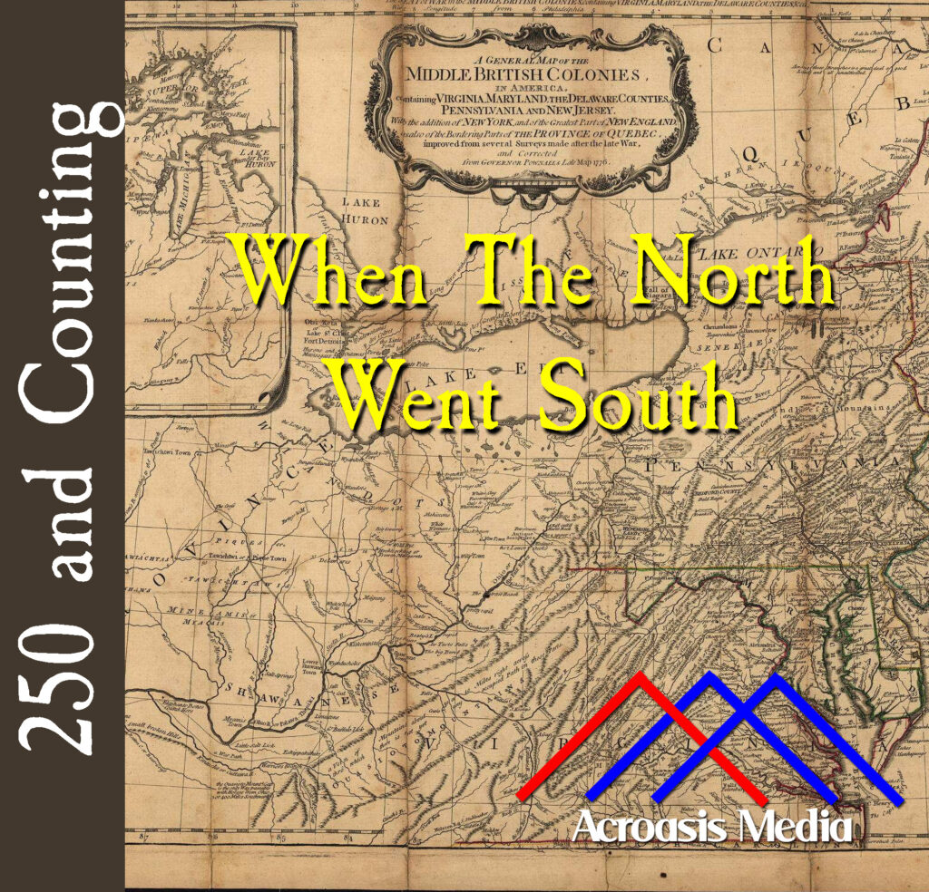
    Cover art for December 4, 1775: a 1776 map of Pennsylvania and surrounding colonies.

    While the premise of today’s episode seems a little far-fetched, if you look closely at the map in today’s cover art, you’ll see it makes a lot of sense. In the mid-1700s, neither Pennsylvania nor Virginia had well-defined western borders. In fact, Virginia was occasionally thought to continue northward all the way to Lake Erie. Some maps even have a Pennsylvania boundary somewhere east of Pittsburgh.

    The point is, there have been times when the borders have been blurry, and others where they’ve overlapped, and still others (before West Virginia was a thing) when the two colonies had well-defined borders AND were neighbors. And now we’ve brought the South into the realm of mutual commitment.

  • Dunmore Assembles Two Regiments–November 30, 1775

    Cover art for November 30, 1775: "A Light Infantry Man and Huzzar of the Queen's Rangers," ca. 1780. From John Graves Simcoe's Military Journal.

    Back on November 14 we told you about the Royal Ethiopian Regiment, which was assembled following Lord Dunmore’s Proclamation. The proclamation offered freedom to slaves belonging to Patriot owners who chose to fight on the British side in the Revolution.

    Dunmore was putting together another band of soldiers at the same time, called “The Queen’s Own Loyal Virginia Regiment,” which suggests that he knew something about George III that wasn’t common knowledge. (Heh, kidding.)

    They both fought in the Battle of Kemp’s Landing, which went very well for the British, but Dunmore took the win as a sign that the Patriots were weak, so he went in to the Battle of Great Bridge, as we’ll see in just a few days.

  • Thomas Jefferson Has Bad News–November 29, 1775

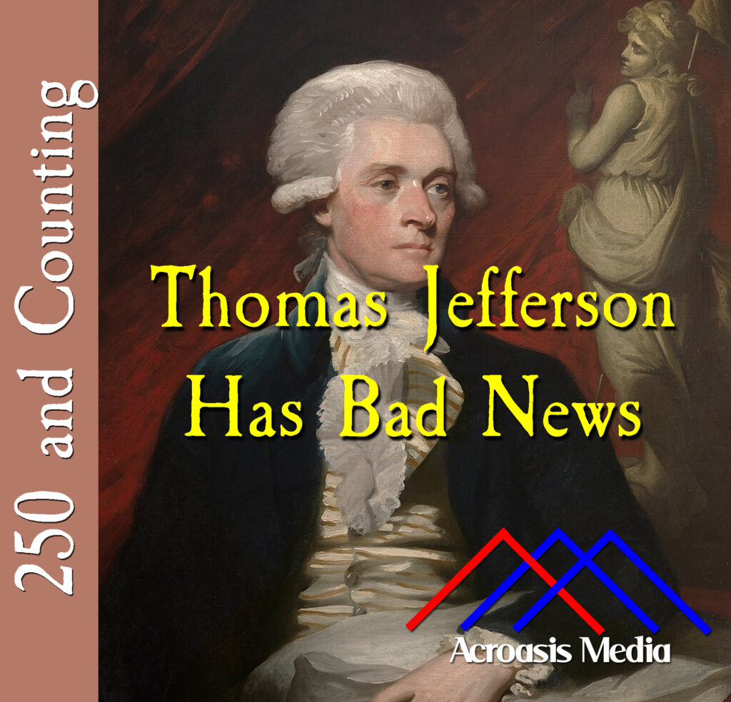
    Cover art for November 29, 1775: portrait of Thomas Jefferson by Mather Brown, 1786.

    Thomas Jefferson wasn’t as prolific with the letters as John Adams was with his own wife (over ten thousand letters between them during the course of the Revolution!), nor as much as George Washington, but he was still a deep thinker and he did write well and with purpose.

    In today’s example he has to convey some unfortunate news to a political rival; specifically that the rival’s brother had died unexpectedly. His letter to John Randolph about Peyton’s death was rather brief and matter-of-fact. He also wrote Randolph his analysis of the battle at Hampton and the overall effect he thought it was having on attitudes in general toward Loyalists and the British. Most of this he pins on King George III, whose behavior he felt was inappropriate and is only going to push the Colonies farther away from England.

  • Prelude To Battle–November 27, 1775

    Cover art for November 27, 1775: Portrait of William Woodford in the late 1770s when he was a general. Artist does not appear to be known.

    Happy Thanksgiving!

    Many people celebrate the day by watching the parade, or some football, or some special episodes of television shows, or Thanksgiving-themed movies.

    Personally I like a combination: I’ll watch the parade, then play an episode or two of The West Wing (there are two Thanksgiving episodes), and then get in a little football. I live in Baltimore and the Ravens are playing tonight, so I’ll be parked in front of the TV for that.

    For the last few years I’ve hosted Thanksgiving, so all of this is going on while I’m cooking during the day, so this is the first time in a bit that I’ll actually be paying attention to what’s on the tube.

    Meanwhile, back in the Revolution, we have the events that precipitated what is probably one of the most overlooked battles of the Revolution, which is a shame because many future events hinged on this happening, and Colonel William Woodford (later a General) is also rather overlooked these days.

  • The Birth of the Black Loyalists–November 14, 1775

    Cover art for November 14, 1775: art depicting a member of Dunmore's Ethiopian Regiment. Original artist is unknown but this image is frequently used to represent those soldiers.

    Lord Dunmore issued his Proclamation just a week earlier, but the response was much stronger than anticipated, probably because—who knew!—people hate being slaves.

    While the Proclamation only applied to the Virginia colony, because Dunmore had no authority conferred upon him anywhere else, a huge number of slaves and otherwise indentured servants from throughout the thirteen colonies fled to the British side of the lines.

    (We have to say “throughout” because slavery was a thing in the north at this point; it just wasn’t nearly as common as in the south.)

    This led to thousands of “American” blacks living ex-patriate lives throughout the British Empire after the Revolution.

  • Dunmore Has A Tempting Offer–November 7, 1775

    Cover art for November 7, 1775: detail of Lord Dunmore's Proclamation as it appeared in the Philadelphia Journal and Weekly Advertiser, 12/6/1775. Via the Gilder Lehrman Institute of American History.

    Lord Dunmore was driven from the Governor’s Mansion back in June, but he never went far. That same day he took refuge on a British ship near Williamsburg and continued playing the role of Governor, even though the House of Burgesses was already doing quite nicely, thank you.

    Slave revolts were a constant concern in the slave states, and Dunmore was almost certainly inspired by an incident just a couple of days earlier during the Battle of Kemps Landing. An enslaved man, serving alongside the British regulars, came face to face with his former enslaver, Joseph Hutchings, a local militia commander. Hutchings fired at him point blank and missed. In retaliation, the black soldier wounded him with a sword.

    Dunmore and his British compatriots, who were clearly already aware of the power of a general revolt, saw this event as an opportunity.