It was not so very long ago that some of us sought directions from Mapquest. Then we printed them out in order to make a trip of some kind.
It was only a little bit longer ago that we depended on physical maps to get places. In fact, if you’re a fan of the HBO show The Wire, you may recall a plot point that revolved around printed maps. A secret code led to a point on the map.
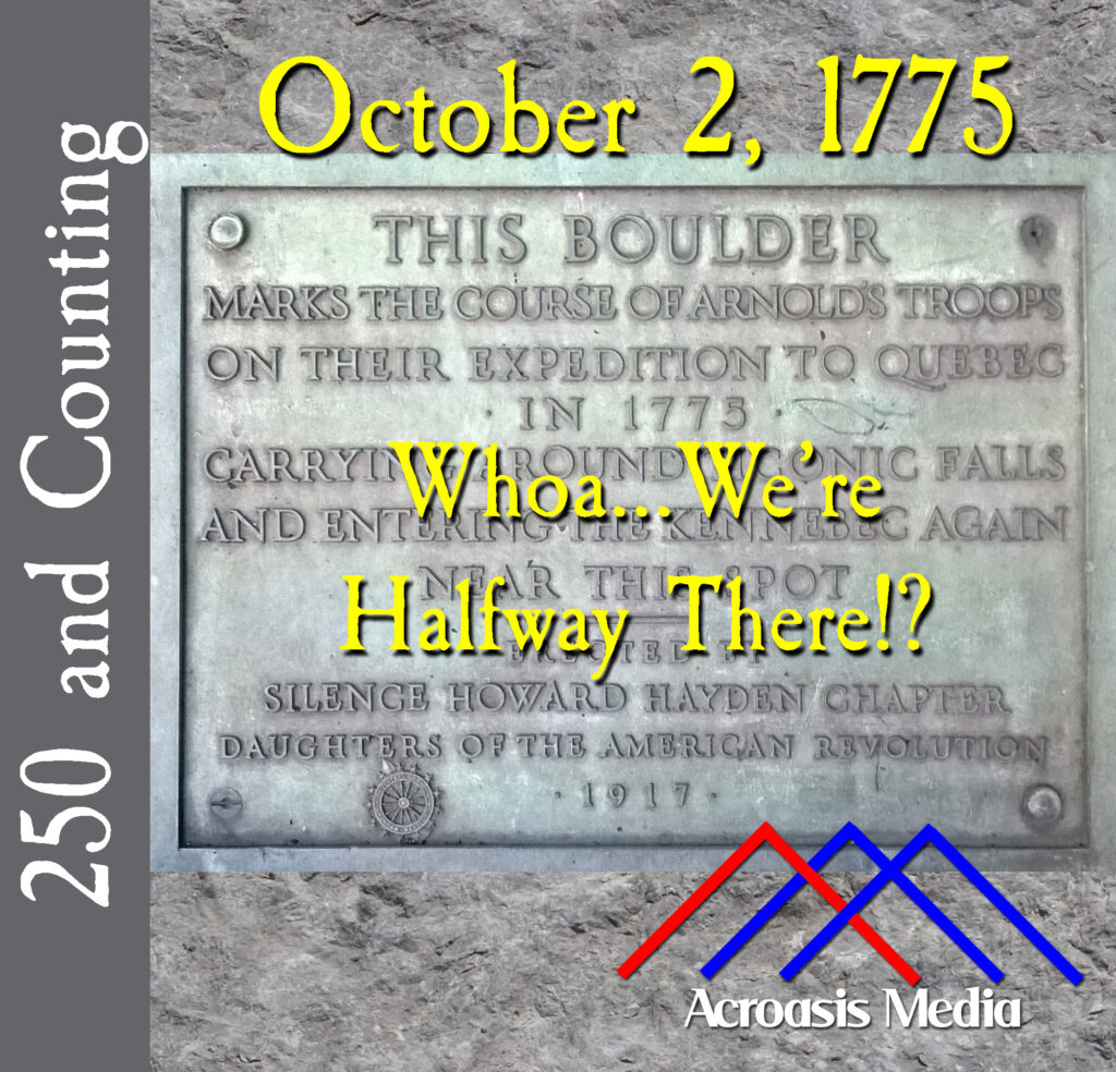
Back in the 18th Century, maps were very important resources for the overland traveler. And if a map had a mistake on it, you could be hopelessly lost. It’s not as though you could pull into Ye Olde Gas Station and get directions.
So the bad news for Benedict Arnold and Company is that the map he used to get to Quebec was terribly inaccurate. The good news is that it was largely incorrect from a distance standpoint. It could have genuinely been much worse.
Podcast: Play in new window | Download | Embed
Leave a Reply