It’s hard to emphasize just how remote Point Shirley is compared to the Boston. Let me try anyway. On most maps of Boston, Point Shirley isn’t even on the map. It’s so far to the east that it’s nearly in the ocean. I’m not sure it’s even possible to see Boston from Point Shirley.
And given Point Shirley’s location at a place between the bay and the ocean, and the fact that it’s November, and you’ve got a cold, windy place where you’ve just dumped 300 sick, destitute people without provisions or a means of getting warm.
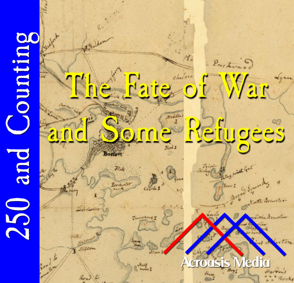
Here’s a weird coincidence: if you look closely at this “manuscript” map from 1775, Point Shirley is at the center right. Need another hint? It’s just under the “fu” in the word “Refugees.” And if anyone got a big FU from the British, it was this group.
Podcast: Play in new window | Download | Embed
Leave a Reply